Area Overview for ME18 6JP
Photos of ME18 6JP
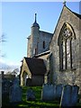
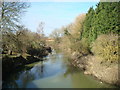
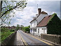
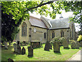
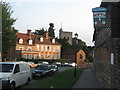
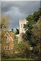
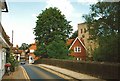
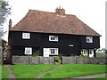
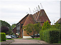
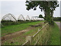
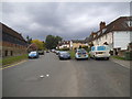
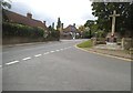
81 photos from this area
Area Information
Key information about the ME18 6JP including its size, population, and administrative classification.
- Area Type
- Postcode
- Area Size
- 60.1 hectares
- Population
- 1704
- Population Density
- 136 people/km²
House Prices in ME18 6JP
19
Properties
£412,500
Average Sold Price
£250,000
Lowest Price
£585,000
Highest Price
Showing 19 properties
| Address | Type | Beds | Baths | Last Sale Price | Last Sale Date | |
|---|---|---|---|---|---|---|
| Knaves Acre, Kenward Road, Yalding, ME18 6JP | Detached | 4 | 1 | £540,000 | Sep 2021 | |
| Roxlea, Kenward Road, Yalding, ME18 6JP | Detached | 4 | 2 | £585,000 | Feb 2021 | |
| 16 Kenward Road, Yalding, ME18 6JP | house | - | - | £319,500 | Feb 2018 | |
| Sawyers, Kenward Road, Yalding, ME18 6JP | house | - | - | £350,000 | Sep 2017 | |
| Hidcote, Kenward Road, Yalding, ME18 6JP | house | - | - | £560,000 | Aug 2017 | |
| Eastwells, Kenward Road, Yalding, ME18 6JP | house | - | - | £526,500 | Jan 2017 | |
| 30 Kenward Road, Yalding, ME18 6JP | Semi-detached | 3 | 1 | £250,000 | Nov 2013 | |
| 28 Kenward Road, Yalding, ME18 6JP | Semi-detached | - | - | £296,500 | Oct 2007 | |
| 24 Kenward Road, Yalding, ME18 6JP | Semi-detached | - | - | £285,000 | Jan 2007 | |
| 14 Kenward Road, Yalding, ME18 6JP | Semi-detached | 4 | 2 | - | - |
Page 1 of 2
Energy Efficiency in ME18 6JP
Amenities
Schools
| Rank | School | Type | Entry gender | Ages |
|---|
Explore more schools in this area
Go to Schools tabDemographics
Household Size
Two person
most common
Accommodation Type
Houses
most common
Tenure
73
majority
Ethnic Group
White
most common
Religion
N/A
most common
Household Composition
N/A
most common
Age
47
median
Adults (30-64 years)
most common
Household Deprivation
N/A
with no deprivation
NS-SEC
35
in Lower managerial occupations
Explore more demographic insights in this area
Go to Demographics tabPlanning
Planning Constraints
- Flood RiskPremium
- Ramsar Wetland SitesPremium
- Area of Outstanding Natural BeautyPremium
- Protected Nature ReservePremium
- Protected WoodlandPremium