Area Overview for ME17 3SE
Photos of ME17 3SE
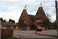
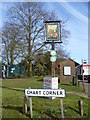
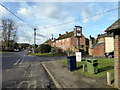
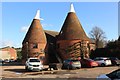
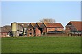
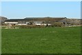
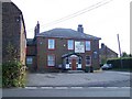

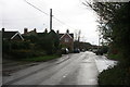
41 photos from this area
Area Information
Key information about the ME17 3SE including its size, population, and administrative classification.
- Area Type
- Postcode
- Area Size
- 8.8 hectares
- Population
- 1263
- Population Density
- 79 people/km²
House Prices in ME17 3SE
27
Properties
£405,579
Average Sold Price
£54,000
Lowest Price
£750,000
Highest Price
Showing 27 properties
| Address | Type | Beds | Baths | Last Sale Price | Last Sale Date | |
|---|---|---|---|---|---|---|
| Millars, Amber Lane, Chart Sutton, ME17 3SE | Bungalow | 3 | 2 | £500,000 | Feb 2025 | |
| Winnfern, Amber Lane, Chart Sutton, ME17 3SE | Bungalow | - | - | £380,000 | Aug 2024 | |
| Hazel Lodge, Amber Lane, Chart Sutton, ME17 3SE | Detached | 6 | 5 | £342,000 | Jun 2021 | |
| Bramfield, Amber Lane, Chart Sutton, ME17 3SE | house | - | - | £575,000 | May 2021 | |
| Silver Willows, Amber Lane, Chart Sutton, ME17 3SE | house | - | - | £330,000 | Mar 2021 | |
| White Gates, Amber Lane, Chart Sutton, ME17 3SE | Detached | 4 | 2 | £475,000 | Oct 2019 | |
| Ashcroft, Amber Lane, Chart Sutton, ME17 3SE | Bungalow | 3 | 2 | £450,000 | Oct 2018 | |
| Orchard View, Amber Lane, Chart Sutton, ME17 3SE | Bungalow | 3 | 2 | £410,000 | May 2018 | |
| Bramble Orchard, Amber Lane, Chart Sutton, ME17 3SE | Detached | 5 | 3 | £635,000 | Nov 2013 | |
| 2, Orchard Cottages, Amber Lane, Chart Sutton, ME17 3SE | Semi-detached | - | - | £317,500 | Nov 2007 |
Page 1 of 3
Energy Efficiency in ME17 3SE
Amenities
Schools
| Rank | School | Type | Entry gender | Ages |
|---|
Explore more schools in this area
Go to Schools tabDemographics
Household Size
Two person
most common
Accommodation Type
Houses
most common
Tenure
75
majority
Ethnic Group
White
most common
Religion
N/A
most common
Household Composition
N/A
most common
Age
47
median
Adults (30-64 years)
most common
Household Deprivation
N/A
with no deprivation
NS-SEC
40
in Lower managerial occupations
Explore more demographic insights in this area
Go to Demographics tabPlanning
Planning Constraints
- Flood RiskPremium
- Ramsar Wetland SitesPremium
- Area of Outstanding Natural BeautyPremium
- Protected Nature ReservePremium
- Protected WoodlandPremium