Area Overview for ME17 2EG
Photos of ME17 2EG
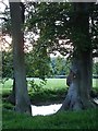
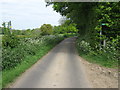
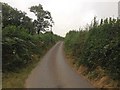
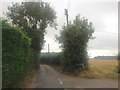
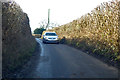
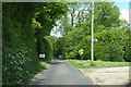
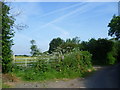
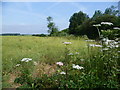
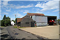
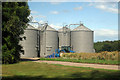
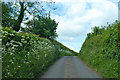
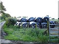
14 photos from this area
Area Information
Key information about the ME17 2EG including its size, population, and administrative classification.
- Area Type
- Postcode
- Area Size
- 47.1 hectares
- Population
- 2677
- Population Density
- 41 people/km²
House Prices in ME17 2EG
10
Properties
£538,750
Average Sold Price
£260,000
Lowest Price
£835,000
Highest Price
Showing 10 properties
| Address | Type | Beds | Baths | Last Sale Price | Last Sale Date | |
|---|---|---|---|---|---|---|
| Warren Lodge, Warren Street, Lenham, ME17 2EG | house | - | - | £835,000 | May 2021 | |
| Little Tracy, Warren Street, Lenham, ME17 2EG | Detached | 3 | - | £625,000 | Jul 2019 | |
| Forge House, Warren Street, Lenham, ME17 2EG | Detached | - | - | £435,000 | Jan 2007 | |
| Trewidden, Warren Street, Lenham, ME17 2EG | Detached | - | - | £260,000 | Aug 2003 | |
| Bunkers Hill Cottage, Warren Street, Lenham, ME17 2EG | Detached | - | - | - | - | |
| Mobile Home, Warren Lodge, Warren Street, Lenham, ME17 2EG | Semi-detached | - | - | - | - | |
| Eagles Wood, Warren Street, Lenham, ME17 2EG | Semi-detached | - | - | - | - | |
| Middleton Farm Buildings, Hubbards Hill, Lenham, ME17 2EG | warehouse | - | - | - | - | |
| G H Bromley, Hubbards Hill, Lenham, ME17 2EG | warehouse | - | - | - | - | |
| Five Oaks, Warren Street, Lenham, ME17 2EG | Bungalow | - | - | - | - |
Energy Efficiency in ME17 2EG
Amenities
Schools
| Rank | School | Type | Entry gender | Ages |
|---|
Explore more schools in this area
Go to Schools tabDemographics
Household Size
Two person
most common
Accommodation Type
Houses
most common
Tenure
77
majority
Ethnic Group
White
most common
Religion
N/A
most common
Household Composition
N/A
most common
Age
47
median
Adults (30-64 years)
most common
Household Deprivation
N/A
with no deprivation
NS-SEC
41
in Lower managerial occupations
Explore more demographic insights in this area
Go to Demographics tabPlanning
Planning Constraints
- Flood RiskPremium
- Ramsar Wetland SitesPremium
- Area of Outstanding Natural BeautyPremium
- Protected Nature ReservePremium
- Protected WoodlandPremium