Area Overview for ME16 0RP
Photos of ME16 0RP
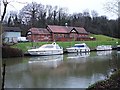
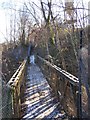
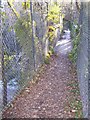
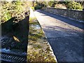

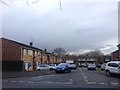
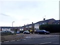
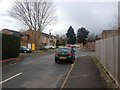
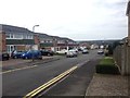
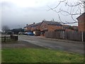
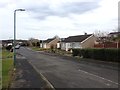
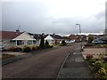
55 photos from this area
Area Information
Key information about the ME16 0RP including its size, population, and administrative classification.
- Area Type
- Postcode
- Area Size
- 7051 m²
- Population
- 1418
- Population Density
- 1413 people/km²
House Prices in ME16 0RP
20
Properties
£243,350
Average Sold Price
£65,000
Lowest Price
£415,000
Highest Price
Showing 20 properties
| Address | Type | Beds | Baths | Last Sale Price | Last Sale Date | |
|---|---|---|---|---|---|---|
| 60 Tintern Road, Maidstone, ME16 0RP | Semi-detached | 3 | 1 | £340,000 | Jul 2023 | |
| 87 Tintern Road, Maidstone, ME16 0RP | Retail | 2 | 1 | £295,000 | Jan 2023 | |
| 99 Tintern Road, Maidstone, ME16 0RP | house | - | - | £415,000 | Feb 2022 | |
| 62 Tintern Road, Maidstone, ME16 0RP | house | - | - | £326,000 | Sep 2021 | |
| 85 Tintern Road, Maidstone, ME16 0RP | Terraced | 2 | 1 | £215,000 | Jun 2021 | |
| 66 Tintern Road, Maidstone, ME16 0RP | Bungalow | - | - | £320,000 | Jun 2021 | |
| 58 Tintern Road, Maidstone, ME16 0RP | Bungalow | - | - | £290,000 | Jun 2021 | |
| 83 Tintern Road, Maidstone, ME16 0RP | house | - | - | £225,000 | May 2021 | |
| 79 Tintern Road, Maidstone, ME16 0RP | Terraced | 2 | 1 | £236,250 | Apr 2017 | |
| 97 Tintern Road, Maidstone, ME16 0RP | Terraced | 2 | 1 | £222,500 | May 2016 |
Page 1 of 2
Energy Efficiency in ME16 0RP
Amenities
Schools
| Rank | School | Type | Entry gender | Ages |
|---|
Explore more schools in this area
Go to Schools tabDemographics
Household Size
Two person
most common
Accommodation Type
Houses
most common
Tenure
85
majority
Ethnic Group
White
most common
Religion
N/A
most common
Household Composition
N/A
most common
Age
47
median
Adults (30-64 years)
most common
Household Deprivation
N/A
with no deprivation
NS-SEC
32
in Lower managerial occupations
Explore more demographic insights in this area
Go to Demographics tabPlanning
Planning Constraints
- Flood RiskPremium
- Ramsar Wetland SitesPremium
- Area of Outstanding Natural BeautyPremium
- Protected Nature ReservePremium
- Protected WoodlandPremium