Area Overview for ME16 0HE
Photos of ME16 0HE

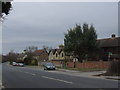
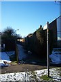
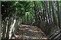
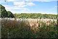
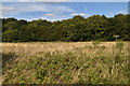
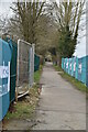
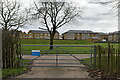
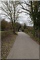
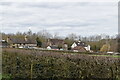
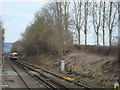
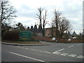
49 photos from this area
Area Information
Key information about the ME16 0HE including its size, population, and administrative classification.
- Area Type
- Postcode
- Area Size
- 1.3 hectares
- Population
- 1695
- Population Density
- 4034 people/km²
House Prices in ME16 0HE
14
Properties
£305,999
Average Sold Price
£89,995
Lowest Price
£630,000
Highest Price
Showing 14 properties
| Address | Type | Beds | Baths | Last Sale Price | Last Sale Date | |
|---|---|---|---|---|---|---|
| 353 London Road, Maidstone, ME16 0HE | Semi-detached | 4 | 2 | £630,000 | Mar 2025 | |
| 359 London Road, Maidstone, ME16 0HE | Detached | 4 | 1 | £520,000 | Nov 2019 | |
| 345 London Road, Maidstone, ME16 0HE | house | - | - | £325,000 | Sep 2010 | |
| 335 London Road, Maidstone, ME16 0HE | house | 4 | - | £265,000 | Oct 2003 | |
| 357 London Road, Maidstone, ME16 0HE | Semi-detached | - | - | £250,000 | Aug 2003 | |
| 347 London Road, Maidstone, ME16 0HE | Semi-detached | - | - | £247,995 | Nov 2002 | |
| 339 London Road, Maidstone, ME16 0HE | Semi-detached | - | - | £120,000 | Oct 1997 | |
| 351 London Road, Maidstone, ME16 0HE | Semi-detached | - | - | £89,995 | May 1997 | |
| 337 London Road, Maidstone, ME16 0HE | house | 4 | 1 | - | - | |
| Marks & Spencer, Tudor Garage, London Road, Maidstone, ME16 0HE | retail_financial | - | - | - | - |
Page 1 of 2
Energy Efficiency in ME16 0HE
Amenities
Schools
| Rank | School | Type | Entry gender | Ages |
|---|
Explore more schools in this area
Go to Schools tabDemographics
Household Size
Two person
most common
Accommodation Type
Houses
most common
Tenure
93
majority
Ethnic Group
White
most common
Religion
N/A
most common
Household Composition
N/A
most common
Age
47
median
Adults (30-64 years)
most common
Household Deprivation
N/A
with no deprivation
NS-SEC
41
in Lower managerial occupations
Explore more demographic insights in this area
Go to Demographics tabPlanning
Planning Constraints
- Flood RiskPremium
- Ramsar Wetland SitesPremium
- Area of Outstanding Natural BeautyPremium
- Protected Nature ReservePremium
- Protected WoodlandPremium