Area Overview for ME15 9FU
Photos of ME15 9FU
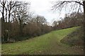
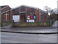
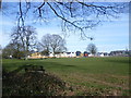
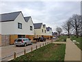
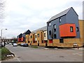
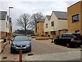
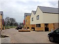
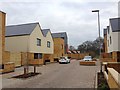
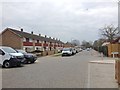
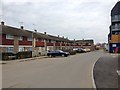
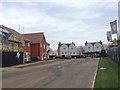
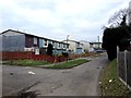
47 photos from this area
Area Information
Key information about the ME15 9FU including its size, population, and administrative classification.
- Area Type
- Postcode
- Area Size
- 6616 m²
- Population
- 1481
- Population Density
- 8671 people/km²
House Prices in ME15 9FU
26
Properties
£42,250
Average Sold Price
£12,000
Lowest Price
£72,500
Highest Price
Showing 26 properties
| Address | Type | Beds | Baths | Last Sale Price | Last Sale Date | |
|---|---|---|---|---|---|---|
| 98 Wallis Avenue, Maidstone, ME15 9FU | Flat | - | - | £72,500 | Aug 2003 | |
| 84 Wallis Avenue, Maidstone, ME15 9FU | Flat | - | - | £12,000 | Sep 1998 | |
| 48 Wallis Avenue, Maidstone, ME15 9FU | house | - | - | - | - | |
| 62 Wallis Avenue, Maidstone, ME15 9FU | house | - | - | - | - | |
| 52 Wallis Avenue, Maidstone, ME15 9FU | house | - | - | - | - | |
| 74 Wallis Avenue, Maidstone, ME15 9FU | house | - | - | - | - | |
| 92 Wallis Avenue, Maidstone, ME15 9FU | Flat | - | - | - | - | |
| 70 Wallis Avenue, Maidstone, ME15 9FU | house | - | - | - | - | |
| 90 Wallis Avenue, Maidstone, ME15 9FU | Flat | - | - | - | - | |
| 50 Wallis Avenue, Maidstone, ME15 9FU | house | - | - | - | - |
Page 1 of 3
Energy Efficiency in ME15 9FU
Amenities
Schools
| Rank | School | Type | Entry gender | Ages |
|---|
Explore more schools in this area
Go to Schools tabDemographics
Household Size
Family (3-5 people)
most common
Accommodation Type
Flats
most common
Tenure
15
majority
Ethnic Group
White
most common
Religion
N/A
most common
Household Composition
N/A
most common
Age
22
median
Adults (30-64 years)
most common
Household Deprivation
N/A
with no deprivation
NS-SEC
14
in Lower managerial occupations
Explore more demographic insights in this area
Go to Demographics tabPlanning
Planning Constraints
- Flood RiskPremium
- Ramsar Wetland SitesPremium
- Area of Outstanding Natural BeautyPremium
- Protected Nature ReservePremium
- Protected WoodlandPremium