Area Overview for ME15 8NU
Photos of ME15 8NU
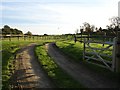
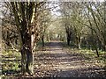
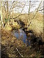
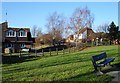
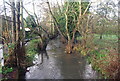
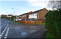
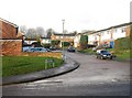
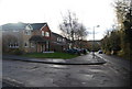
46 photos from this area
Area Information
Key information about the ME15 8NU including its size, population, and administrative classification.
- Area Type
- Postcode
- Area Size
- 5640 m²
- Population
- 1853
- Population Density
- 3948 people/km²
House Prices in ME15 8NU
11
Properties
£280,313
Average Sold Price
£84,500
Lowest Price
£560,000
Highest Price
Showing 11 properties
| Address | Type | Beds | Baths | Last Sale Price | Last Sale Date | |
|---|---|---|---|---|---|---|
| 17A Spot Lane, Bearsted, ME15 8NU | Bungalow | - | - | £350,000 | Feb 2021 | |
| 17 Spot Lane, Bearsted, ME15 8NU | Bungalow | 2 | 1 | £365,000 | Jan 2015 | |
| 22 Spot Lane, Bearsted, ME15 8NU | Detached | 3 | 1 | £330,000 | Aug 2014 | |
| 28 Spot Lane, Bearsted, ME15 8NU | Detached | 5 | 4 | £560,000 | Aug 2013 | |
| Fairview, 22A Spot Lane, Bearsted, ME15 8NU | house | - | - | £135,000 | Aug 2012 | |
| 26 Spot Lane, Bearsted, ME15 8NU | Detached | - | - | £318,000 | Sep 2006 | |
| 19 Spot Lane, Bearsted, ME15 8NU | Retail | 4 | 1 | £100,000 | Aug 1999 | |
| 21 Spot Lane, Bearsted, ME15 8NU | Semi-detached | - | - | £84,500 | Jan 1998 | |
| 25 Spot Lane, Bearsted, ME15 8NU | Semi-detached | - | - | - | - | |
| 24 Spot Lane, Bearsted, ME15 8NU | Detached | - | - | - | - |
Page 1 of 2
Energy Efficiency in ME15 8NU
Amenities
Schools
| Rank | School | Type | Entry gender | Ages |
|---|
Explore more schools in this area
Go to Schools tabDemographics
Household Size
Two person
most common
Accommodation Type
Houses
most common
Tenure
91
majority
Ethnic Group
White
most common
Religion
N/A
most common
Household Composition
N/A
most common
Age
47
median
Adults (30-64 years)
most common
Household Deprivation
N/A
with no deprivation
NS-SEC
43
in Lower managerial occupations
Explore more demographic insights in this area
Go to Demographics tabPlanning
Planning Constraints
- Flood RiskPremium
- Ramsar Wetland SitesPremium
- Area of Outstanding Natural BeautyPremium
- Protected Nature ReservePremium
- Protected WoodlandPremium