Area Overview for ME15 7SR
Photos of ME15 7SR

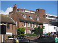
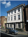
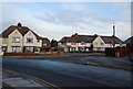
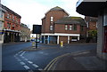

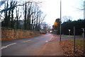
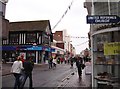
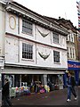
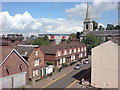
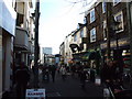
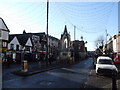
100 photos from this area
Area Information
Key information about the ME15 7SR including its size, population, and administrative classification.
- Area Type
- Postcode
- Area Size
- 6144 m²
- Population
- 1780
- Population Density
- 4501 people/km²
House Prices in ME15 7SR
24
Properties
£281,787
Average Sold Price
£73,000
Lowest Price
£466,000
Highest Price
Showing 24 properties
| Address | Type | Beds | Baths | Last Sale Price | Last Sale Date | |
|---|---|---|---|---|---|---|
| 78 Hastings Road, Maidstone, ME15 7SR | Semi-detached | 3 | 1 | £360,000 | May 2024 | |
| 98 Hastings Road, Maidstone, ME15 7SR | Retail | 3 | 1 | £435,000 | Oct 2022 | |
| 82 Hastings Road, Maidstone, ME15 7SR | Flat | - | - | £190,000 | Jul 2022 | |
| 62 Hastings Road, Maidstone, ME15 7SR | house | - | - | £395,000 | May 2022 | |
| 74 Hastings Road, Maidstone, ME15 7SR | Retail | 3 | 1 | £342,000 | Mar 2022 | |
| 86 Hastings Road, Maidstone, ME15 7SR | Semi-detached | 3 | - | £466,000 | May 2021 | |
| 102 Hastings Road, Maidstone, ME15 7SR | house | - | - | £415,000 | Apr 2021 | |
| 100 Hastings Road, Maidstone, ME15 7SR | Maisonette | 1 | - | £402,000 | Jan 2021 | |
| 96 Hastings Road, Maidstone, ME15 7SR | Semi-detached | 3 | 1 | £365,000 | Nov 2019 | |
| 82A Hastings Road, Maidstone, ME15 7SR | Maisonette | 1 | 1 | £140,000 | May 2016 |
Page 1 of 3
Energy Efficiency in ME15 7SR
Amenities
Schools
| Rank | School | Type | Entry gender | Ages |
|---|
Explore more schools in this area
Go to Schools tabDemographics
Household Size
Family (3-5 people)
most common
Accommodation Type
Houses
most common
Tenure
77
majority
Ethnic Group
White
most common
Religion
N/A
most common
Household Composition
N/A
most common
Age
47
median
Adults (30-64 years)
most common
Household Deprivation
N/A
with no deprivation
NS-SEC
33
in Lower managerial occupations
Explore more demographic insights in this area
Go to Demographics tabPlanning
Planning Constraints
- Flood RiskPremium
- Ramsar Wetland SitesPremium
- Area of Outstanding Natural BeautyPremium
- Protected Nature ReservePremium
- Protected WoodlandPremium