Area Overview for ME15 7RZ
Photos of ME15 7RZ

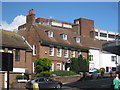
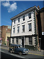
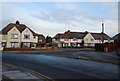
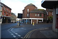

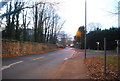
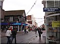
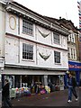
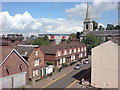
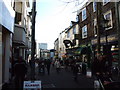
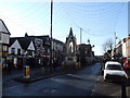
100 photos from this area
Area Information
Key information about the ME15 7RZ including its size, population, and administrative classification.
- Area Type
- Postcode
- Area Size
- 5220 m²
- Population
- 1489
- Population Density
- 5780 people/km²
House Prices in ME15 7RZ
36
Properties
£149,171
Average Sold Price
£56,000
Lowest Price
£234,000
Highest Price
Showing 36 properties
| Address | Type | Beds | Baths | Last Sale Price | Last Sale Date | |
|---|---|---|---|---|---|---|
| 62 River Bank Close, Maidstone, ME15 7RZ | Flat | 2 | 1 | £182,000 | Nov 2025 | |
| 33 River Bank Close, Maidstone, ME15 7RZ | Flat | 2 | 1 | £175,000 | Feb 2024 | |
| 52 River Bank Close, Maidstone, ME15 7RZ | Flat | - | - | £225,000 | Jul 2023 | |
| 50 River Bank Close, Maidstone, ME15 7RZ | Flat | - | - | £215,000 | Jul 2023 | |
| 65 River Bank Close, Maidstone, ME15 7RZ | Flat | - | - | £195,000 | May 2023 | |
| 43 River Bank Close, Maidstone, ME15 7RZ | Flat | 2 | 1 | £172,000 | Nov 2022 | |
| 53 River Bank Close, Maidstone, ME15 7RZ | Flat | - | - | £234,000 | Jul 2022 | |
| 63 River Bank Close, Maidstone, ME15 7RZ | Flat | - | - | £56,000 | Dec 2021 | |
| 41 River Bank Close, Maidstone, ME15 7RZ | Flat | 2 | - | £160,000 | Nov 2019 | |
| 59 River Bank Close, Maidstone, ME15 7RZ | Flat | 3 | 2 | £172,000 | Jul 2019 |
Page 1 of 4
Energy Efficiency in ME15 7RZ
Amenities
Schools
| Rank | School | Type | Entry gender | Ages |
|---|
Explore more schools in this area
Go to Schools tabDemographics
Household Size
One person
most common
Accommodation Type
Flats
most common
Tenure
31
majority
Ethnic Group
White
most common
Religion
N/A
most common
Household Composition
N/A
most common
Age
47
median
Adults (30-64 years)
most common
Household Deprivation
N/A
with no deprivation
NS-SEC
25
in Lower managerial occupations
Explore more demographic insights in this area
Go to Demographics tabPlanning
Planning Constraints
- Flood RiskPremium
- Ramsar Wetland SitesPremium
- Area of Outstanding Natural BeautyPremium
- Protected Nature ReservePremium
- Protected WoodlandPremium