Area Overview for ME15 0QT
Photos of ME15 0QT
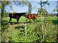
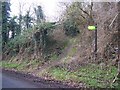
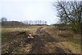
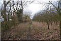
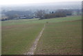
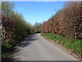
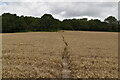
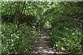
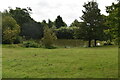
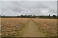
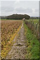
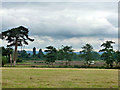
49 photos from this area
Area Information
Key information about the ME15 0QT including its size, population, and administrative classification.
- Area Type
- Postcode
- Area Size
- 70.7 hectares
- Population
- 1639
- Population Density
- 103 people/km²
House Prices in ME15 0QT
16
Properties
£423,444
Average Sold Price
£33,500
Lowest Price
£950,000
Highest Price
Showing 16 properties
| Address | Type | Beds | Baths | Last Sale Price | Last Sale Date | |
|---|---|---|---|---|---|---|
| Weavers House, Barn Hill, Hunton, ME15 0QT | Cottage | 4 | 2 | £668,000 | Jan 2021 | |
| The Old Forge, Barn Hill, Hunton, ME15 0QT | Semi-detached | 2 | 1 | £398,000 | Feb 2020 | |
| Oast House Cottage, Barn Hill, Hunton, ME15 0QT | Semi-detached | 5 | 2 | £632,500 | Jan 2018 | |
| Barn Hill House, Barn Hill, Hunton, ME15 0QT | Detached | - | - | £565,000 | Apr 2006 | |
| The Old Rectory, Barn Hill, Hunton, ME15 0QT | Detached | - | - | £950,000 | Jan 2004 | |
| Barn Hill Oast, Barn Hill, Hunton, ME15 0QT | Detached | - | - | £232,500 | Jul 1996 | |
| 3, New Cottages, Barn Hill, Hunton, ME15 0QT | Terraced | - | - | £126,500 | Nov 1995 | |
| 2, New Cottages, Barn Hill, Hunton, ME15 0QT | Terraced | - | - | £33,500 | Jun 1995 | |
| The Barn, Barn Hill, Hunton, ME15 0QT | Detached | - | - | £205,000 | Mar 1995 | |
| Jennings Oast, Barn Hill, Hunton, ME15 0QT | Semi-detached | - | - | - | - |
Page 1 of 2
Energy Efficiency in ME15 0QT
Amenities
Schools
| Rank | School | Type | Entry gender | Ages |
|---|
Explore more schools in this area
Go to Schools tabDemographics
Household Size
Two person
most common
Accommodation Type
Houses
most common
Tenure
77
majority
Ethnic Group
White
most common
Religion
N/A
most common
Household Composition
N/A
most common
Age
47
median
Adults (30-64 years)
most common
Household Deprivation
N/A
with no deprivation
NS-SEC
40
in Lower managerial occupations
Explore more demographic insights in this area
Go to Demographics tabPlanning
Planning Constraints
- Flood RiskPremium
- Ramsar Wetland SitesPremium
- Area of Outstanding Natural BeautyPremium
- Protected Nature ReservePremium
- Protected WoodlandPremium