Area Overview for ME15 0DF
Photos of ME15 0DF
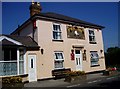
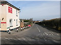
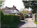
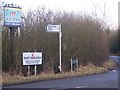
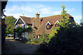
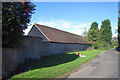
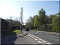
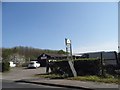

48 photos from this area
Area Information
Key information about the ME15 0DF including its size, population, and administrative classification.
- Area Type
- Postcode
- Area Size
- 2.1 hectares
- Population
- 1358
- Population Density
- 461 people/km²
House Prices in ME15 0DF
16
Properties
£245,893
Average Sold Price
£92,000
Lowest Price
£420,000
Highest Price
Showing 16 properties
| Address | Type | Beds | Baths | Last Sale Price | Last Sale Date | |
|---|---|---|---|---|---|---|
| 4 Fairhurst Drive, East Farleigh, ME15 0DF | Detached | 4 | 2 | £420,000 | Jun 2021 | |
| 12 Fairhurst Drive, East Farleigh, ME15 0DF | Detached | 3 | 2 | £390,000 | Jun 2020 | |
| 11 Fairhurst Drive, East Farleigh, ME15 0DF | Detached | 4 | 1 | £415,000 | Apr 2019 | |
| 19 Fairhurst Drive, East Farleigh, ME15 0DF | Detached | 4 | 1 | £410,000 | Apr 2019 | |
| 9 Fairhurst Drive, East Farleigh, ME15 0DF | Detached | - | - | £270,000 | Aug 2012 | |
| 1 Fairhurst Drive, East Farleigh, ME15 0DF | Detached | 4 | 3 | £310,000 | Jul 2011 | |
| 6 Fairhurst Drive, East Farleigh, ME15 0DF | Detached | - | - | £249,995 | Jul 2005 | |
| 8 Fairhurst Drive, East Farleigh, ME15 0DF | Detached | - | - | £239,995 | May 2004 | |
| 17 Fairhurst Drive, East Farleigh, ME15 0DF | Detached | - | - | £243,500 | Dec 2003 | |
| 14 Fairhurst Drive, East Farleigh, ME15 0DF | Detached | - | - | £166,000 | Oct 2000 |
Page 1 of 2
Energy Efficiency in ME15 0DF
Amenities
Schools
| Rank | School | Type | Entry gender | Ages |
|---|
Explore more schools in this area
Go to Schools tabDemographics
Household Size
Family (3-5 people)
most common
Accommodation Type
Houses
most common
Tenure
88
majority
Ethnic Group
White
most common
Religion
N/A
most common
Household Composition
N/A
most common
Age
47
median
Adults (30-64 years)
most common
Household Deprivation
N/A
with no deprivation
NS-SEC
41
in Lower managerial occupations
Explore more demographic insights in this area
Go to Demographics tabPlanning
Planning Constraints
- Flood RiskPremium
- Ramsar Wetland SitesPremium
- Area of Outstanding Natural BeautyPremium
- Protected Nature ReservePremium
- Protected WoodlandPremium