Area Overview for ME15 0AG
Photos of ME15 0AG
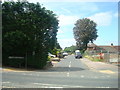
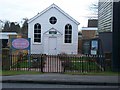
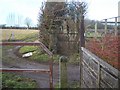
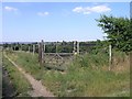
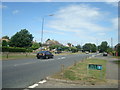
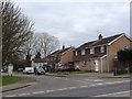
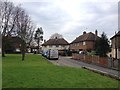
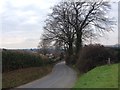
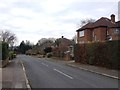
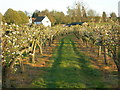
51 photos from this area
Area Information
Key information about the ME15 0AG including its size, population, and administrative classification.
- Area Type
- Postcode
- Area Size
- 4.0 hectares
- Population
- 2575
- Population Density
- 960 people/km²
House Prices in ME15 0AG
22
Properties
£450,938
Average Sold Price
£135,000
Lowest Price
£710,000
Highest Price
Showing 22 properties
| Address | Type | Beds | Baths | Last Sale Price | Last Sale Date | |
|---|---|---|---|---|---|---|
| 27 Linton Road, Loose, ME15 0AG | Semi-detached | 4 | 1 | £710,000 | May 2021 | |
| 39 Linton Road, Loose, ME15 0AG | Detached | 3 | 2 | £575,000 | Mar 2018 | |
| 45 Linton Road, Loose, ME15 0AG | house | 4 | 3 | £560,000 | Sep 2017 | |
| 35 Linton Road, Loose, ME15 0AG | Semi-detached | 4 | 1 | £345,000 | Jun 2017 | |
| 9 Linton Road, Loose, ME15 0AG | house | - | - | £425,000 | Jul 2016 | |
| Greystone, Linton Road, Loose, ME15 0AG | house | - | - | £687,500 | Nov 2012 | |
| 37 Linton Road, Loose, ME15 0AG | Detached | - | - | £135,000 | Jun 2002 | |
| 7A Linton Road, Loose, ME15 0AG | Semi-detached | 4 | 2 | £170,000 | Apr 1998 | |
| 49 Linton Road, Loose, ME15 0AG | Bungalow | 3 | 2 | - | - | |
| The Vicarage, 17 Linton Road, Loose, ME15 0AG | Semi-detached | 4 | 3 | - | - |
Page 1 of 3
Energy Efficiency in ME15 0AG
Amenities
Schools
| Rank | School | Type | Entry gender | Ages |
|---|
Explore more schools in this area
Go to Schools tabDemographics
Household Size
Family (3-5 people)
most common
Accommodation Type
Houses
most common
Tenure
84
majority
Ethnic Group
White
most common
Religion
N/A
most common
Household Composition
N/A
most common
Age
47
median
Adults (30-64 years)
most common
Household Deprivation
N/A
with no deprivation
NS-SEC
42
in Lower managerial occupations
Explore more demographic insights in this area
Go to Demographics tabPlanning
Planning Constraints
- Flood RiskPremium
- Ramsar Wetland SitesPremium
- Area of Outstanding Natural BeautyPremium
- Protected Nature ReservePremium
- Protected WoodlandPremium