Area Overview for ME14 4EH
Photos of ME14 4EH
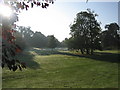
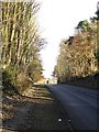
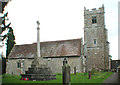
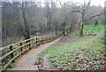
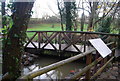
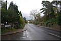
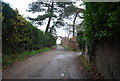
98 photos from this area
Area Information
Key information about the ME14 4EH including its size, population, and administrative classification.
- Area Type
- Postcode
- Area Size
- 8232 m²
- Population
- 1684
- Population Density
- 2528 people/km²
House Prices in ME14 4EH
7
Properties
£460,000
Average Sold Price
£105,000
Lowest Price
£725,000
Highest Price
Showing 7 properties
| Address | Type | Beds | Baths | Last Sale Price | Last Sale Date | |
|---|---|---|---|---|---|---|
| Rosemary, Trapfield Lane, Bearsted, ME14 4EH | Bungalow | 4 | 1 | £725,000 | Mar 2020 | |
| Downsway, Trapfield Lane, Bearsted, ME14 4EH | Bungalow | - | - | £550,000 | May 2014 | |
| Wyndale, Trapfield Lane, Bearsted, ME14 4EH | Detached | - | - | £105,000 | Sep 1996 | |
| Conifers, Trapfield Lane, Bearsted, ME14 4EH | Detached | - | - | - | - | |
| Driveway Cottage, Trapfield Lane, Bearsted, ME14 4EH | Detached | - | - | - | - | |
| Rouen, Trapfield Lane, Bearsted, ME14 4EH | Detached | - | - | - | - | |
| Staddle Stones, Trapfield Lane, Bearsted, ME14 4EH | Detached | - | - | - | - |
Energy Efficiency in ME14 4EH
Amenities
Schools
| Rank | School | Type | Entry gender | Ages |
|---|
Explore more schools in this area
Go to Schools tabDemographics
Household Size
Two person
most common
Accommodation Type
Houses
most common
Tenure
81
majority
Ethnic Group
White
most common
Religion
N/A
most common
Household Composition
N/A
most common
Age
47
median
Adults (30-64 years)
most common
Household Deprivation
N/A
with no deprivation
NS-SEC
44
in Lower managerial occupations
Explore more demographic insights in this area
Go to Demographics tabPlanning
Planning Constraints
- Flood RiskPremium
- Ramsar Wetland SitesPremium
- Area of Outstanding Natural BeautyPremium
- Protected Nature ReservePremium
- Protected WoodlandPremium