Area Overview for ME12 4QQ
Photos of ME12 4QQ


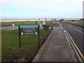
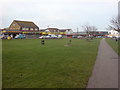
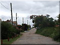
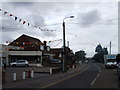
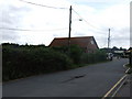
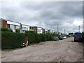
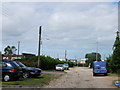
88 photos from this area
Area Information
Key information about the ME12 4QQ including its size, population, and administrative classification.
- Area Type
- Postcode
- Area Size
- 1.8 hectares
- Population
- 2012
- Population Density
- 97 people/km²
House Prices in ME12 4QQ
59
Properties
£48,618
Average Sold Price
£13,000
Lowest Price
£77,000
Highest Price
Showing 59 properties
| Address | Type | Beds | Baths | Last Sale Price | Last Sale Date | |
|---|---|---|---|---|---|---|
| 29, Sheppey Beach Villas, Manor Way, Leysdown, ME12 4QQ | Bungalow | 2 | 1 | £74,000 | Jul 2023 | |
| 37, Sheppey Beach Villas, Manor Way, Leysdown, ME12 4QQ | Bungalow | - | - | £77,000 | Jan 2023 | |
| 53, Sheppey Beach Villas, Manor Way, Leysdown, ME12 4QQ | Bungalow | 2 | 1 | £64,000 | Jan 2022 | |
| 20, Sheppey Beach Villas, Manor Way, Leysdown, ME12 4QQ | Flat | - | - | £68,000 | Sep 2020 | |
| 25, Sheppey Beach Villas, Manor Way, Leysdown, ME12 4QQ | Flat | - | - | £70,000 | Jan 2017 | |
| 30, Sheppey Beach Villas, Manor Way, Leysdown, ME12 4QQ | Bungalow | 1 | - | £60,000 | Dec 2014 | |
| 8, Sheppey Beach Villas, Manor Way, Leysdown, ME12 4QQ | Bungalow | - | - | £30,000 | Aug 2013 | |
| 54, Sheppey Beach Villas, Manor Way, Leysdown, ME12 4QQ | Bungalow | - | - | £48,000 | Dec 2012 | |
| 19, Sheppey Beach Villas, Manor Way, Leysdown, ME12 4QQ | Flat | - | - | £49,500 | Jul 2010 | |
| 11, Sheppey Beach Villas, Manor Way, Leysdown, ME12 4QQ | Bungalow | - | - | £44,000 | Nov 2008 |
Page 1 of 6
Energy Efficiency in ME12 4QQ
Amenities
Schools
| Rank | School | Type | Entry gender | Ages |
|---|
Explore more schools in this area
Go to Schools tabDemographics
Household Size
One person
most common
Accommodation Type
Houses
most common
Tenure
66
majority
Ethnic Group
White
most common
Religion
N/A
most common
Household Composition
N/A
most common
Age
47
median
Adults (30-64 years)
most common
Household Deprivation
N/A
with no deprivation
NS-SEC
17
in Lower managerial occupations
Explore more demographic insights in this area
Go to Demographics tabPlanning
Planning Constraints
- Flood RiskPremium
- Ramsar Wetland SitesPremium
- Area of Outstanding Natural BeautyPremium
- Protected Nature ReservePremium
- Protected WoodlandPremium