Area Overview for ME12 3GJ
Photos of ME12 3GJ
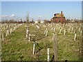
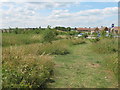
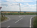
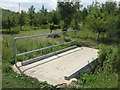
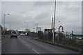
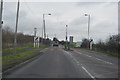
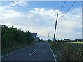
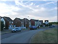
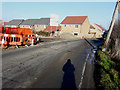
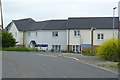
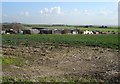
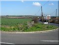
20 photos from this area
Area Information
Key information about the ME12 3GJ including its size, population, and administrative classification.
- Area Type
- Postcode
- Area Size
- 8715 m²
- Population
- 1495
- Population Density
- 2271 people/km²
House Prices in ME12 3GJ
51
Properties
£219,635
Average Sold Price
£50,000
Lowest Price
£310,000
Highest Price
Showing 51 properties
| Address | Type | Beds | Baths | Last Sale Price | Last Sale Date | |
|---|---|---|---|---|---|---|
| 55 Nettle Way, Minster On Sea, ME12 3GJ | Flat | - | - | £82,500 | May 2025 | |
| 9 Nettle Way, Minster On Sea, ME12 3GJ | Terraced | 3 | 3 | £302,000 | Mar 2025 | |
| 57 Nettle Way, Minster On Sea, ME12 3GJ | Terraced | 3 | 4 | £300,000 | Dec 2024 | |
| 31 Nettle Way, Minster On Sea, ME12 3GJ | Terraced | 3 | 3 | £310,000 | Jun 2023 | |
| 99 Nettle Way, Minster On Sea, ME12 3GJ | house | 3 | 3 | £308,000 | Jan 2023 | |
| 61 Nettle Way, Minster On Sea, ME12 3GJ | house | 3 | 3 | £295,000 | Apr 2022 | |
| 93 Nettle Way, Minster On Sea, ME12 3GJ | house | - | - | £275,000 | Sep 2021 | |
| 45 Nettle Way, Minster On Sea, ME12 3GJ | Flat | - | - | £165,000 | Sep 2021 | |
| 17 Nettle Way, Minster On Sea, ME12 3GJ | Semi-detached | 2 | 3 | £210,000 | May 2021 | |
| 1 Nettle Way, Minster On Sea, ME12 3GJ | Semi-detached | 5 | 2 | £270,000 | Apr 2021 |
Page 1 of 6
Energy Efficiency in ME12 3GJ
Amenities
Schools
| Rank | School | Type | Entry gender | Ages |
|---|
Explore more schools in this area
Go to Schools tabDemographics
Household Size
Family (3-5 people)
most common
Accommodation Type
Houses
most common
Tenure
61
majority
Ethnic Group
White
most common
Religion
N/A
most common
Household Composition
N/A
most common
Age
22
median
Adults (30-64 years)
most common
Household Deprivation
N/A
with no deprivation
NS-SEC
29
in Lower managerial occupations
Explore more demographic insights in this area
Go to Demographics tabPlanning
Planning Constraints
- Flood RiskPremium
- Ramsar Wetland SitesPremium
- Area of Outstanding Natural BeautyPremium
- Protected Nature ReservePremium
- Protected WoodlandPremium