Area Overview for ME12 2BE
Photos of ME12 2BE
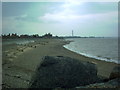
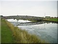
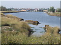
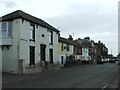
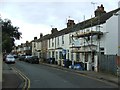
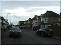
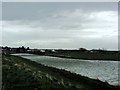
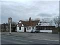
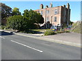
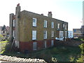
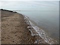
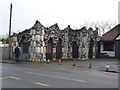
45 photos from this area
Area Information
Key information about the ME12 2BE including its size, population, and administrative classification.
- Area Type
- Postcode
- Area Size
- 8.1 hectares
- Population
- 1823
- Population Density
- 4906 people/km²
House Prices in ME12 2BE
61
Properties
£165,129
Average Sold Price
£11,500
Lowest Price
£475,000
Highest Price
Showing 61 properties
| Address | Type | Beds | Baths | Last Sale Price | Last Sale Date | |
|---|---|---|---|---|---|---|
| 96 Marine Parade, Sheerness, ME12 2BE | Detached | 3 | 2 | £300,000 | Aug 2023 | |
| 119 Marine Parade, Sheerness, ME12 2BE | Terraced | 3 | 1 | £185,000 | Sep 2022 | |
| 75 Marine Parade, Sheerness, ME12 2BE | house | 6 | - | £475,000 | Feb 2021 | |
| 107 Marine Parade, Sheerness, ME12 2BE | house | - | - | £200,000 | May 2019 | |
| 82 Marine Parade, Sheerness, ME12 2BE | Terraced | 2 | 1 | £150,000 | Dec 2018 | |
| 115 Marine Parade, Sheerness, ME12 2BE | house | - | - | £93,000 | Dec 2018 | |
| 113 Marine Parade, Sheerness, ME12 2BE | Terraced | 4 | 2 | £205,000 | Jul 2018 | |
| 85 Marine Parade, Sheerness, ME12 2BE | Bungalow | 2 | 1 | £195,000 | May 2018 | |
| 80 Marine Parade, Sheerness, ME12 2BE | Detached | 2 | 1 | £190,000 | Sep 2017 | |
| 114 Marine Parade, Sheerness, ME12 2BE | Terraced | 4 | 3 | £300,000 | Feb 2017 |
Page 1 of 7
Energy Efficiency in ME12 2BE
Amenities
Schools
| Rank | School | Type | Entry gender | Ages |
|---|
Explore more schools in this area
Go to Schools tabDemographics
Household Size
Family (3-5 people)
most common
Accommodation Type
Houses
most common
Tenure
45
majority
Ethnic Group
White
most common
Religion
N/A
most common
Household Composition
N/A
most common
Age
47
median
Adults (30-64 years)
most common
Household Deprivation
N/A
with no deprivation
NS-SEC
17
in Lower managerial occupations
Explore more demographic insights in this area
Go to Demographics tabPlanning
Planning Constraints
- Flood RiskPremium
- Ramsar Wetland SitesPremium
- Area of Outstanding Natural BeautyPremium
- Protected Nature ReservePremium
- Protected WoodlandPremium