Area Overview for ME12 1YW
Photos of ME12 1YW
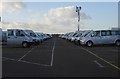
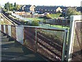
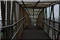
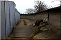
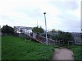
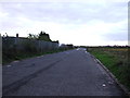
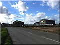
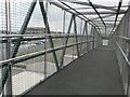
20 photos from this area
Area Information
Key information about the ME12 1YW including its size, population, and administrative classification.
- Area Type
- Postcode
- Area Size
- 1.3 km²
- Population
- 1494
- Population Density
- 746 people/km²
House Prices in ME12 1YW
9
Properties
-
Average Sold Price
-
Lowest Price
-
Highest Price
Showing 9 properties
| Address | Type | Beds | Baths | Last Sale Price | Last Sale Date | |
|---|---|---|---|---|---|---|
| Storage Land Adjacent Old Gas Works, Brielle Way, Sheerness, ME12 1YW | warehouse | - | - | - | - | |
| Gefco Uk Ltd, Preparation Centre, Brielle Way, Sheerness, ME12 1YW | Industrial | - | - | - | - | |
| Mike Presneill Contractors, Brielle Way, Sheerness, ME12 1YW | Industrial | - | - | - | - | |
| Mobile Home, Tiger Tyre And Wheel, Brielle Way, Sheerness, ME12 1YW | Mobile Home | - | - | - | - | |
| Mobile Home, Ptc South East, Brielle Way, Sheerness, ME12 1YW | Mobile Home | - | - | - | - | |
| 999 Car Sales, Transport Yard Adjacent Pacific House, Brielle Way, Sheerness, ME12 1YW | general_industrial | - | - | - | - | |
| Island Diner, Brielle Way, Sheerness, ME12 1YW | Restaurant | - | - | - | - | |
| Presneill Tipper Contractors Ltd, Old Gas Works, Brielle Way, Sheerness, ME12 1YW | Industrial | - | - | - | - | |
| Hgv Parking Land, Brielle Way, Sheerness, ME12 1YW | warehouse | - | - | - | - |
Energy Efficiency in ME12 1YW
Amenities
Schools
| Rank | School | Type | Entry gender | Ages |
|---|
Explore more schools in this area
Go to Schools tabDemographics
Household Size
Family (3-5 people)
most common
Accommodation Type
Houses
most common
Tenure
34
majority
Ethnic Group
White
most common
Religion
N/A
most common
Household Composition
N/A
most common
Age
47
median
Adults (30-64 years)
most common
Household Deprivation
N/A
with no deprivation
NS-SEC
12
in Lower managerial occupations
Explore more demographic insights in this area
Go to Demographics tabPlanning
Planning Constraints
- Flood RiskPremium
- Ramsar Wetland SitesPremium
- Area of Outstanding Natural BeautyPremium
- Protected Nature ReservePremium
- Protected WoodlandPremium