Area Overview for ME12 1BT
Photos of ME12 1BT
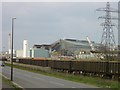

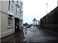
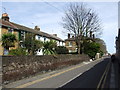
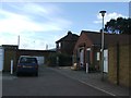
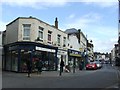
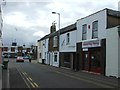
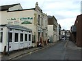
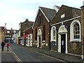
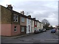
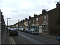
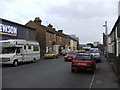
100 photos from this area
Area Information
Key information about the ME12 1BT including its size, population, and administrative classification.
- Area Type
- Postcode
- Area Size
- 1.4 hectares
- Population
- 1617
- Population Density
- 6049 people/km²
House Prices in ME12 1BT
31
Properties
£191,722
Average Sold Price
£53,000
Lowest Price
£287,500
Highest Price
Showing 31 properties
| Address | Type | Beds | Baths | Last Sale Price | Last Sale Date | |
|---|---|---|---|---|---|---|
| 21 Medway Road, Sheerness, ME12 1BT | Semi-detached | 3 | 1 | £287,500 | Jun 2025 | |
| 25 Medway Road, Sheerness, ME12 1BT | Semi-detached | 3 | 2 | £235,000 | Mar 2025 | |
| 8 Medway Road, Sheerness, ME12 1BT | Semi-detached | 3 | 1 | £240,000 | Nov 2022 | |
| 28 Medway Road, Sheerness, ME12 1BT | Retail | 3 | 1 | £250,000 | Sep 2022 | |
| 17 Medway Road, Sheerness, ME12 1BT | house | - | - | £245,000 | Sep 2021 | |
| 26 Medway Road, Sheerness, ME12 1BT | house | - | - | £175,000 | Mar 2016 | |
| 27 Medway Road, Sheerness, ME12 1BT | house | - | - | £110,000 | Dec 2012 | |
| 22 Medway Road, Sheerness, ME12 1BT | house | - | - | £130,000 | Jul 2009 | |
| 32 Medway Road, Sheerness, ME12 1BT | Semi-detached | - | - | £53,000 | Dec 1997 | |
| 7 Medway Road, Sheerness, ME12 1BT | Terraced | 3 | 1 | - | - |
Page 1 of 4
Energy Efficiency in ME12 1BT
Amenities
Schools
| Rank | School | Type | Entry gender | Ages |
|---|
Explore more schools in this area
Go to Schools tabDemographics
Household Size
Family (3-5 people)
most common
Accommodation Type
Houses
most common
Tenure
35
majority
Ethnic Group
White
most common
Religion
N/A
most common
Household Composition
N/A
most common
Age
47
median
Adults (30-64 years)
most common
Household Deprivation
N/A
with no deprivation
NS-SEC
13
in Lower managerial occupations
Explore more demographic insights in this area
Go to Demographics tabPlanning
Planning Constraints
- Flood RiskPremium
- Ramsar Wetland SitesPremium
- Area of Outstanding Natural BeautyPremium
- Protected Nature ReservePremium
- Protected WoodlandPremium