Area Overview for ME11 5WN
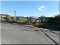
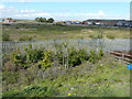
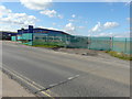
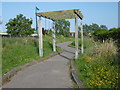
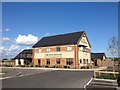
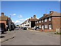
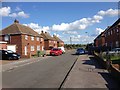
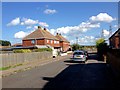
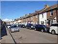
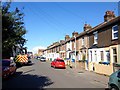
Photos of ME11 5WN


Area Information
Living in ME11 5WN offers a compact, residential experience shaped by its small cluster of homes and a population of 1,844 people. The area’s density of 433 people per square kilometre suggests a tightly knit community, where daily life is defined by proximity to local amenities and straightforward connectivity. This postcode is not a sprawling suburb but a focused residential enclave, likely centred around a few key streets or developments. The median age of 47 and the dominance of adults aged 30–64 indicate a stable, mature population, many of whom may be long-term residents or professionals working in nearby towns. With 49% of homes owned by occupants, the area balances owner-occupation with rental properties, though the data does not clarify the proportion of each. ME11 5WN’s character is one of quiet routine, where the pace of life is slower, and the community’s needs are met by nearby shops, rail links, and a modest array of services. For those seeking a place to settle rather than a transient location, this area provides a baseline of practicality and simplicity.
- Area Type
- Postcode
- Area Size
- Not available
- Population
- 1844
- Population Density
- 433 people/km²
The property market in ME11 5WN is characterised by a 49% home ownership rate, indicating that nearly half of the area’s homes are owner-occupied, while the rest are likely rented. This balance suggests a mix of long-term residents and tenants, though the small size of the postcode means the market is not large or diverse. The accommodation type is predominantly houses, which may imply a focus on family homes or standalone properties rather than flats or apartments. For buyers, this means the housing stock is limited in scope, with opportunities likely concentrated in individual properties rather than a wide range of options. The small area’s immediate surroundings may offer additional choices, but the data does not specify. Prospective buyers should consider the area’s compact nature, which may mean competition for available properties and a need to look beyond ME11 5WN for broader options.
House Prices in ME11 5WN
No properties found in this postcode.
Energy Efficiency in ME11 5WN
Residents of ME11 5WN have access to a range of nearby amenities, including retail outlets like Iceland Queenborough, Morrisons Rushenden, and Aldi Neats. These stores provide convenience for everyday shopping, from groceries to household essentials. The area’s rail stations—Queenborough, Swale, and Sheerness—offer easy access to public transport, enabling trips to larger towns or cities for work, entertainment, or services not available locally. While the data does not mention parks or leisure facilities, the presence of retail and rail options suggests a lifestyle focused on practicality and accessibility. The compact nature of the area means amenities are within walking or short driving distance, supporting a low-maintenance routine. For those who value convenience over expansive recreational options, ME11 5WN provides a straightforward, serviceable environment.
Amenities
Schools
The nearest school to ME11 5WN is Threshold Learning Centre, an independent institution. No other schools are listed in the data, meaning families relying on state education may need to look beyond the immediate area. The presence of an independent school suggests that some residents prioritise private education, though the lack of state schools could be a limitation for others. For families seeking a range of educational options, the area’s single school may necessitate commuting to nearby towns for state-run schools. The absence of further details on the school’s performance or Ofsted rating means potential buyers must investigate independently to assess its suitability for their children’s needs.
| Rank | School | Type | Entry gender | Ages |
|---|
Explore more schools in this area
Go to Schools tabDemographics
ME11 5WN’s population skews towards adults aged 30–64, with a median age of 47. This suggests a community of established professionals, families, or retirees, rather than a student-heavy or youthful demographic. The 49% home ownership rate indicates that nearly half of residents are homeowners, while the remaining 51% likely rent. The accommodation type is predominantly houses, which may reflect a preference for standalone properties over flats or apartments. The predominant ethnic group is White, though the data does not provide further detail on diversity or minority representation. With no specific information on deprivation levels, it is unclear how socioeconomic factors might influence the area’s quality of life. However, the presence of independent schools and retail amenities suggests a baseline of accessibility. The community’s stability is reinforced by the absence of significant environmental constraints, such as protected woodlands or Areas of Outstanding Natural Beauty, which might otherwise limit development or affect living conditions.
Household Size
Accommodation Type
Tenure
Ethnic Group
Religion
Household Composition
Age
Household Deprivation
NS-SEC
Explore more demographic insights in this area
Go to Demographics tabPlanning
Planning Constraints
- Flood RiskPremium
- Ramsar Wetland SitesPremium
- Area of Outstanding Natural BeautyPremium
- Protected Nature ReservePremium
- Protected WoodlandPremium