Area Overview for ME11 5BJ
Photos of ME11 5BJ
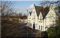
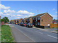
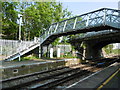
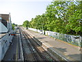

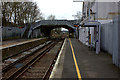
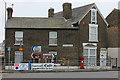
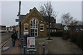
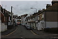
60 photos from this area
Area Information
Key information about the ME11 5BJ including its size, population, and administrative classification.
- Area Type
- Postcode
- Area Size
- 7054 m²
- Population
- 1448
- Population Density
- 1073 people/km²
House Prices in ME11 5BJ
33
Properties
£139,500
Average Sold Price
£43,000
Lowest Price
£230,000
Highest Price
Showing 33 properties
| Address | Type | Beds | Baths | Last Sale Price | Last Sale Date | |
|---|---|---|---|---|---|---|
| 47 Dumergue Avenue, Queenborough, ME11 5BJ | Terraced | 3 | 1 | £230,000 | Mar 2025 | |
| 53 Dumergue Avenue, Queenborough, ME11 5BJ | house | 3 | - | £225,000 | Jan 2023 | |
| 29 Dumergue Avenue, Queenborough, ME11 5BJ | house | - | - | £193,000 | Mar 2020 | |
| 9 Dumergue Avenue, Queenborough, ME11 5BJ | Terraced | 3 | 1 | £178,000 | Feb 2020 | |
| 7 Dumergue Avenue, Queenborough, ME11 5BJ | Terraced | - | - | £160,000 | Dec 2016 | |
| 59 Dumergue Avenue, Queenborough, ME11 5BJ | Terraced | 3 | 1 | £171,000 | Mar 2016 | |
| 63 Dumergue Avenue, Queenborough, ME11 5BJ | Terraced | 3 | 1 | £160,000 | Aug 2015 | |
| 27 Dumergue Avenue, Queenborough, ME11 5BJ | house | - | - | £114,500 | Dec 2013 | |
| 49 Dumergue Avenue, Queenborough, ME11 5BJ | house | - | - | £120,000 | Jul 2013 | |
| 43 Dumergue Avenue, Queenborough, ME11 5BJ | house | - | - | £105,000 | Oct 2008 |
Page 1 of 4
Energy Efficiency in ME11 5BJ
Amenities
Schools
| Rank | School | Type | Entry gender | Ages |
|---|
Explore more schools in this area
Go to Schools tabDemographics
Household Size
Two person
most common
Accommodation Type
Houses
most common
Tenure
84
majority
Ethnic Group
White
most common
Religion
N/A
most common
Household Composition
N/A
most common
Age
47
median
Adults (30-64 years)
most common
Household Deprivation
N/A
with no deprivation
NS-SEC
25
in Lower managerial occupations
Explore more demographic insights in this area
Go to Demographics tabPlanning
Planning Constraints
- Flood RiskPremium
- Ramsar Wetland SitesPremium
- Area of Outstanding Natural BeautyPremium
- Protected Nature ReservePremium
- Protected WoodlandPremium