Area Overview for ME10 4JR
Photos of ME10 4JR
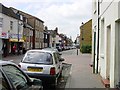
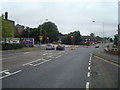
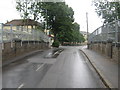
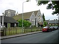
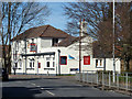
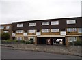
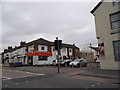
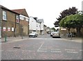
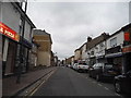
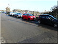
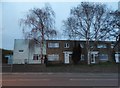
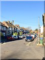
85 photos from this area
Area Information
Key information about the ME10 4JR including its size, population, and administrative classification.
- Area Type
- Postcode
- Area Size
- 1.0 hectares
- Population
- 1463
- Population Density
- 2733 people/km²
House Prices in ME10 4JR
30
Properties
£170,658
Average Sold Price
£33,500
Lowest Price
£310,000
Highest Price
Showing 30 properties
| Address | Type | Beds | Baths | Last Sale Price | Last Sale Date | |
|---|---|---|---|---|---|---|
| 56 Rectory Road, Sittingbourne, ME10 4JR | Terraced | 3 | 1 | £300,000 | Jan 2024 | |
| 45 Rectory Road, Sittingbourne, ME10 4JR | Terraced | 3 | - | £189,400 | Mar 2023 | |
| 57 Rectory Road, Sittingbourne, ME10 4JR | Terraced | 2 | 1 | £270,000 | Jan 2023 | |
| 51 Rectory Road, Sittingbourne, ME10 4JR | Terraced | 3 | 1 | £310,000 | Jan 2020 | |
| 50 Rectory Road, Sittingbourne, ME10 4JR | Terraced | 2 | 1 | £215,000 | Sep 2018 | |
| 65 Rectory Road, Sittingbourne, ME10 4JR | Terraced | 3 | 1 | £227,000 | Oct 2017 | |
| 31 Rectory Road, Sittingbourne, ME10 4JR | Terraced | 3 | 1 | £139,000 | Oct 2012 | |
| 53 Rectory Road, Sittingbourne, ME10 4JR | Terraced | - | - | £172,000 | Nov 2004 | |
| 63 Rectory Road, Sittingbourne, ME10 4JR | house | - | - | £89,000 | May 2002 | |
| 44A Rectory Road, Sittingbourne, ME10 4JR | Semi-detached | - | - | £48,000 | Jun 2000 |
Page 1 of 3
Energy Efficiency in ME10 4JR
Amenities
Schools
| Rank | School | Type | Entry gender | Ages |
|---|
Explore more schools in this area
Go to Schools tabDemographics
Household Size
Family (3-5 people)
most common
Accommodation Type
Houses
most common
Tenure
56
majority
Ethnic Group
White
most common
Religion
N/A
most common
Household Composition
N/A
most common
Age
47
median
Adults (30-64 years)
most common
Household Deprivation
N/A
with no deprivation
NS-SEC
20
in Lower managerial occupations
Explore more demographic insights in this area
Go to Demographics tabPlanning
Planning Constraints
- Flood RiskPremium
- Ramsar Wetland SitesPremium
- Area of Outstanding Natural BeautyPremium
- Protected Nature ReservePremium
- Protected WoodlandPremium