Area Overview for ME10 4BQ
Photos of ME10 4BQ
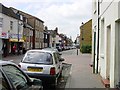
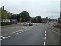
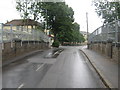
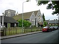
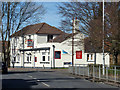
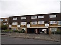
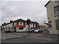
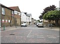
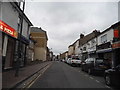
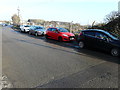
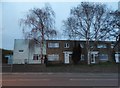
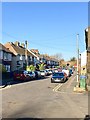
85 photos from this area
Area Information
Key information about the ME10 4BQ including its size, population, and administrative classification.
- Area Type
- Postcode
- Area Size
- 1.3 hectares
- Population
- 2066
- Population Density
- 4421 people/km²
House Prices in ME10 4BQ
41
Properties
£115,433
Average Sold Price
£67,500
Lowest Price
£157,000
Highest Price
Showing 41 properties
| Address | Type | Beds | Baths | Last Sale Price | Last Sale Date | |
|---|---|---|---|---|---|---|
| 23 East Street, Sittingbourne, ME10 4BQ | Terraced | 2 | 1 | £150,000 | Dec 2023 | |
| 77A East Street, Sittingbourne, ME10 4BQ | Flat | - | - | £107,462 | Oct 2022 | |
| 57 East Street, Sittingbourne, ME10 4BQ | Terraced | 3 | 1 | £157,000 | Oct 2019 | |
| 59A East Street, Sittingbourne, ME10 4BQ | Maisonette | 2 | 1 | £135,500 | Apr 2014 | |
| 31 East Street, Sittingbourne, ME10 4BQ | Flat | - | - | £67,500 | Oct 2006 | |
| 27 East Street, Sittingbourne, ME10 4BQ | house | - | - | £112,500 | May 2006 | |
| 29 East Street, Sittingbourne, ME10 4BQ | house | - | - | £112,500 | May 2006 | |
| 35 East Street, Sittingbourne, ME10 4BQ | Flat | - | - | £81,000 | Oct 2003 | |
| 51 East Street, Sittingbourne, ME10 4BQ | Terraced | 3 | 1 | - | - | |
| Flat Above, 33 East Street, Sittingbourne, ME10 4BQ | Flat | 3 | 1 | - | - |
Page 1 of 5
Energy Efficiency in ME10 4BQ
Amenities
Schools
| Rank | School | Type | Entry gender | Ages |
|---|
Explore more schools in this area
Go to Schools tabDemographics
Household Size
One person
most common
Accommodation Type
Houses
most common
Tenure
48
majority
Ethnic Group
White
most common
Religion
N/A
most common
Household Composition
N/A
most common
Age
47
median
Adults (30-64 years)
most common
Household Deprivation
N/A
with no deprivation
NS-SEC
23
in Lower managerial occupations
Explore more demographic insights in this area
Go to Demographics tabPlanning
Planning Constraints
- Flood RiskPremium
- Ramsar Wetland SitesPremium
- Area of Outstanding Natural BeautyPremium
- Protected Nature ReservePremium
- Protected WoodlandPremium