Area Overview for ME10 3DD
Photos of ME10 3DD
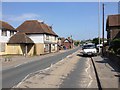
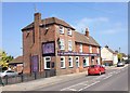
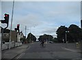
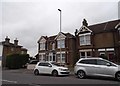
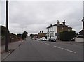
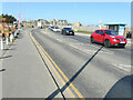
36 photos from this area
Area Information
Key information about the ME10 3DD including its size, population, and administrative classification.
- Area Type
- Postcode
- Area Size
- 1.8 hectares
- Population
- 1275
- Population Density
- 6877 people/km²
House Prices in ME10 3DD
34
Properties
£255,922
Average Sold Price
£64,000
Lowest Price
£540,000
Highest Price
Showing 34 properties
| Address | Type | Beds | Baths | Last Sale Price | Last Sale Date | |
|---|---|---|---|---|---|---|
| 1C Vincent Road, Sittingbourne, ME10 3DD | Terraced | 2 | 1 | £262,500 | Jan 2025 | |
| 12 Vincent Road, Sittingbourne, ME10 3DD | Detached | 5 | 2 | £540,000 | Dec 2024 | |
| 14 Vincent Road, Sittingbourne, ME10 3DD | Detached | 3 | 2 | £466,000 | Dec 2024 | |
| 1A Vincent Road, Sittingbourne, ME10 3DD | house | 2 | 1 | £225,000 | Nov 2023 | |
| 13 Vincent Road, Sittingbourne, ME10 3DD | Detached | 3 | 1 | £392,000 | Nov 2022 | |
| 5 Vincent Road, Sittingbourne, ME10 3DD | Retail | 3 | 1 | £368,000 | May 2022 | |
| 1B Vincent Road, Sittingbourne, ME10 3DD | Terraced | 2 | 1 | £248,000 | Jan 2022 | |
| 16 Vincent Road, Sittingbourne, ME10 3DD | house | - | - | £360,000 | Aug 2021 | |
| 22 Vincent Road, Sittingbourne, ME10 3DD | house | - | - | £295,000 | Aug 2021 | |
| 24 Vincent Road, Sittingbourne, ME10 3DD | house | - | - | £305,000 | Jun 2021 |
Page 1 of 4
Energy Efficiency in ME10 3DD
Amenities
Schools
| Rank | School | Type | Entry gender | Ages |
|---|
Explore more schools in this area
Go to Schools tabDemographics
Household Size
Two person
most common
Accommodation Type
Houses
most common
Tenure
80
majority
Ethnic Group
White
most common
Religion
N/A
most common
Household Composition
N/A
most common
Age
47
median
Adults (30-64 years)
most common
Household Deprivation
N/A
with no deprivation
NS-SEC
29
in Lower managerial occupations
Explore more demographic insights in this area
Go to Demographics tabPlanning
Planning Constraints
- Flood RiskPremium
- Ramsar Wetland SitesPremium
- Area of Outstanding Natural BeautyPremium
- Protected Nature ReservePremium
- Protected WoodlandPremium