Area Overview for ME10 3AA
Photos of ME10 3AA
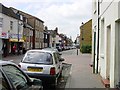
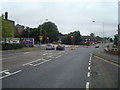
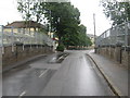
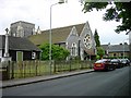

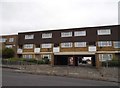
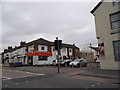
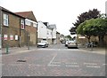
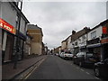
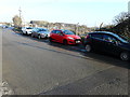
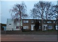
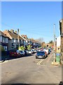
85 photos from this area
Area Information
Key information about the ME10 3AA including its size, population, and administrative classification.
- Area Type
- Postcode
- Area Size
- 9135 m²
- Population
- 2066
- Population Density
- 4421 people/km²
House Prices in ME10 3AA
34
Properties
£161,404
Average Sold Price
£34,000
Lowest Price
£327,200
Highest Price
Showing 34 properties
| Address | Type | Beds | Baths | Last Sale Price | Last Sale Date | |
|---|---|---|---|---|---|---|
| 41 West Lane, Sittingbourne, ME10 3AA | Terraced | 2 | 1 | £246,000 | Aug 2024 | |
| 17 West Lane, Sittingbourne, ME10 3AA | Terraced | 2 | - | £170,000 | Aug 2023 | |
| 20 West Lane, Sittingbourne, ME10 3AA | Semi-detached | 3 | 1 | £327,200 | Jun 2023 | |
| 51 West Lane, Sittingbourne, ME10 3AA | Terraced | 2 | 1 | £205,000 | Sep 2022 | |
| 35 West Lane, Sittingbourne, ME10 3AA | house | - | - | £230,000 | Dec 2021 | |
| 49 West Lane, Sittingbourne, ME10 3AA | Terraced | 2 | 1 | £225,500 | Nov 2021 | |
| 1 West Lane, Sittingbourne, ME10 3AA | Terraced | 2 | 1 | £195,000 | Oct 2021 | |
| 25 West Lane, Sittingbourne, ME10 3AA | house | - | - | £260,000 | Oct 2021 | |
| 7 West Lane, Sittingbourne, ME10 3AA | house | - | - | £200,000 | Mar 2021 | |
| 14 West Lane, Sittingbourne, ME10 3AA | Terraced | 3 | 1 | £197,500 | Jan 2021 |
Page 1 of 4
Energy Efficiency in ME10 3AA
Amenities
Schools
| Rank | School | Type | Entry gender | Ages |
|---|
Explore more schools in this area
Go to Schools tabDemographics
Household Size
One person
most common
Accommodation Type
Houses
most common
Tenure
48
majority
Ethnic Group
White
most common
Religion
N/A
most common
Household Composition
N/A
most common
Age
47
median
Adults (30-64 years)
most common
Household Deprivation
N/A
with no deprivation
NS-SEC
23
in Lower managerial occupations
Explore more demographic insights in this area
Go to Demographics tabPlanning
Planning Constraints
- Flood RiskPremium
- Ramsar Wetland SitesPremium
- Area of Outstanding Natural BeautyPremium
- Protected Nature ReservePremium
- Protected WoodlandPremium