Area Overview for ME10 1LD
Photos of ME10 1LD
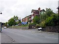
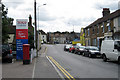
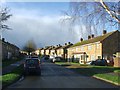
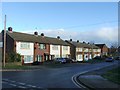
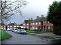
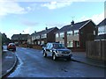
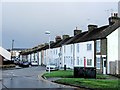
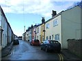
45 photos from this area
Area Information
Key information about the ME10 1LD including its size, population, and administrative classification.
- Area Type
- Postcode
- Area Size
- 7975 m²
- Population
- 1681
- Population Density
- 2728 people/km²
House Prices in ME10 1LD
14
Properties
£250,444
Average Sold Price
£52,000
Lowest Price
£488,000
Highest Price
Showing 14 properties
| Address | Type | Beds | Baths | Last Sale Price | Last Sale Date | |
|---|---|---|---|---|---|---|
| 72 College Road, Sittingbourne, ME10 1LD | Detached | 3 | 2 | £488,000 | Oct 2024 | |
| 68 College Road, Sittingbourne, ME10 1LD | house | - | - | £405,000 | Jan 2024 | |
| 78 College Road, Sittingbourne, ME10 1LD | Detached | 4 | 1 | £460,000 | Oct 2018 | |
| 90 College Road, Sittingbourne, ME10 1LD | Semi-detached | 3 | - | £280,000 | Mar 2016 | |
| 80 College Road, Sittingbourne, ME10 1LD | Detached | 3 | 1 | £95,000 | Oct 2002 | |
| 76 College Road, Sittingbourne, ME10 1LD | Detached | 3 | - | £165,000 | Feb 2002 | |
| 84 College Road, Sittingbourne, ME10 1LD | Detached | - | - | £210,000 | Nov 2001 | |
| 88 College Road, Sittingbourne, ME10 1LD | Semi-detached | - | - | £52,000 | Aug 1996 | |
| 86 College Road, Sittingbourne, ME10 1LD | Detached | - | - | £99,000 | Jul 1995 | |
| 66 College Road, Sittingbourne, ME10 1LD | Detached | 3 | 1 | - | - |
Page 1 of 2
Energy Efficiency in ME10 1LD
Amenities
Schools
| Rank | School | Type | Entry gender | Ages |
|---|
Explore more schools in this area
Go to Schools tabDemographics
Household Size
Two person
most common
Accommodation Type
Houses
most common
Tenure
77
majority
Ethnic Group
White
most common
Religion
N/A
most common
Household Composition
N/A
most common
Age
47
median
Adults (30-64 years)
most common
Household Deprivation
N/A
with no deprivation
NS-SEC
27
in Lower managerial occupations
Explore more demographic insights in this area
Go to Demographics tabPlanning
Planning Constraints
- Flood RiskPremium
- Ramsar Wetland SitesPremium
- Area of Outstanding Natural BeautyPremium
- Protected Nature ReservePremium
- Protected WoodlandPremium