Area Overview for ME1 3BB
Photos of ME1 3BB
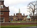
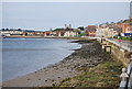
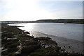
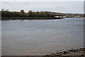
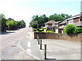
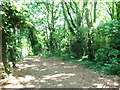
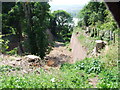
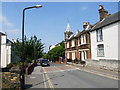
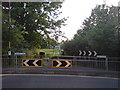
97 photos from this area
Area Information
Key information about the ME1 3BB including its size, population, and administrative classification.
- Area Type
- Postcode
- Area Size
- 1.2 hectares
- Population
- 1763
- Population Density
- 3031 people/km²
House Prices in ME1 3BB
29
Properties
£410,100
Average Sold Price
£100,000
Lowest Price
£700,000
Highest Price
Showing 29 properties
| Address | Type | Beds | Baths | Last Sale Price | Last Sale Date | |
|---|---|---|---|---|---|---|
| 160 Borstal Road, Rochester, ME1 3BB | Semi-detached | 4 | 1 | £430,000 | Feb 2025 | |
| 142 Borstal Road, Rochester, ME1 3BB | house | - | - | £650,000 | Jun 2022 | |
| 152 Borstal Road, Rochester, ME1 3BB | Semi-detached | 5 | 2 | £620,000 | Jun 2021 | |
| 144 Borstal Road, Rochester, ME1 3BB | Semi-detached | 6 | 3 | £700,000 | Jul 2020 | |
| 146 Borstal Road, Rochester, ME1 3BB | house | 5 | 3 | £660,000 | Oct 2019 | |
| 136 Borstal Road, Rochester, ME1 3BB | Flat | 3 | - | £332,500 | Aug 2019 | |
| 132 Borstal Road, Rochester, ME1 3BB | Semi-detached | 3 | 1 | £325,000 | Feb 2017 | |
| 130 Borstal Road, Rochester, ME1 3BB | Semi-detached | 3 | 1 | £325,000 | Oct 2016 | |
| 156 Borstal Road, Rochester, ME1 3BB | house | 5 | - | £450,000 | Sep 2011 | |
| 154 Borstal Road, Rochester, ME1 3BB | house | - | - | £387,000 | Sep 2009 |
Page 1 of 3
Energy Efficiency in ME1 3BB
Amenities
Schools
| Rank | School | Type | Entry gender | Ages |
|---|
Explore more schools in this area
Go to Schools tabDemographics
Household Size
Family (3-5 people)
most common
Accommodation Type
Houses
most common
Tenure
84
majority
Ethnic Group
White
most common
Religion
N/A
most common
Household Composition
N/A
most common
Age
47
median
Adults (30-64 years)
most common
Household Deprivation
N/A
with no deprivation
NS-SEC
40
in Lower managerial occupations
Explore more demographic insights in this area
Go to Demographics tabPlanning
Planning Constraints
- Flood RiskPremium
- Ramsar Wetland SitesPremium
- Area of Outstanding Natural BeautyPremium
- Protected Nature ReservePremium
- Protected WoodlandPremium