Area Overview for ME1 2DY
Photos of ME1 2DY
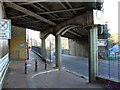
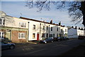
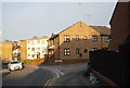
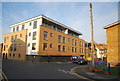
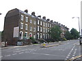
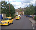
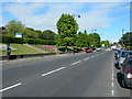
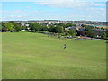
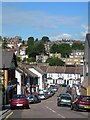
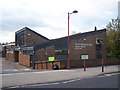
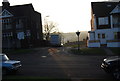
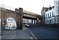
100 photos from this area
Area Information
Key information about the ME1 2DY including its size, population, and administrative classification.
- Area Type
- Postcode
- Area Size
- 6345 m²
- Population
- 1554
- Population Density
- 9917 people/km²
House Prices in ME1 2DY
31
Properties
£141,857
Average Sold Price
£40,000
Lowest Price
£240,000
Highest Price
Showing 31 properties
| Address | Type | Beds | Baths | Last Sale Price | Last Sale Date | |
|---|---|---|---|---|---|---|
| 86 Castle Avenue, Rochester, ME1 2DY | house | - | - | £230,000 | Jun 2021 | |
| 76 Castle Avenue, Rochester, ME1 2DY | Terraced | 2 | 1 | £185,000 | Mar 2021 | |
| 79 Castle Avenue, Rochester, ME1 2DY | Terraced | 2 | 1 | £175,000 | Sep 2020 | |
| 82 Castle Avenue, Rochester, ME1 2DY | Terraced | 2 | 2 | £200,000 | Nov 2018 | |
| 74 Castle Avenue, Rochester, ME1 2DY | Terraced | 2 | 1 | £240,000 | Aug 2018 | |
| 87 Castle Avenue, Rochester, ME1 2DY | house | - | - | £148,500 | Nov 2013 | |
| 98 Castle Avenue, Rochester, ME1 2DY | house | 3 | - | £137,000 | Jun 2011 | |
| 73 Castle Avenue, Rochester, ME1 2DY | Terraced | - | - | £120,000 | Sep 2009 | |
| 94 Castle Avenue, Rochester, ME1 2DY | house | - | - | £144,000 | Oct 2006 | |
| 83 Castle Avenue, Rochester, ME1 2DY | house | - | - | £116,000 | Mar 2006 |
Page 1 of 4
Energy Efficiency in ME1 2DY
Amenities
Schools
| Rank | School | Type | Entry gender | Ages |
|---|
Explore more schools in this area
Go to Schools tabDemographics
Household Size
Family (3-5 people)
most common
Accommodation Type
Houses
most common
Tenure
54
majority
Ethnic Group
White
most common
Religion
N/A
most common
Household Composition
N/A
most common
Age
47
median
Adults (30-64 years)
most common
Household Deprivation
N/A
with no deprivation
NS-SEC
35
in Lower managerial occupations
Explore more demographic insights in this area
Go to Demographics tabPlanning
Planning Constraints
- Flood RiskPremium
- Ramsar Wetland SitesPremium
- Area of Outstanding Natural BeautyPremium
- Protected Nature ReservePremium
- Protected WoodlandPremium