Area Overview for LU7 9BT
Photos of LU7 9BT
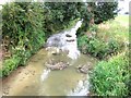
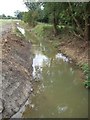
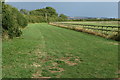
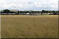
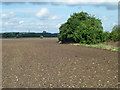
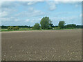
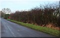
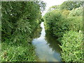
9 photos from this area
Area Information
Key information about the LU7 9BT including its size, population, and administrative classification.
- Area Type
- Postcode
- Area Size
- 1.2 km²
- Population
- 1683
- Population Density
- 140 people/km²
House Prices in LU7 9BT
46
Properties
£445,472
Average Sold Price
£68,000
Lowest Price
£1,000,000
Highest Price
Showing 46 properties
| Address | Type | Beds | Baths | Last Sale Price | Last Sale Date | |
|---|---|---|---|---|---|---|
| Buffalo House, Mill Road, Slapton, LU7 9BT | Detached | 6 | 4 | £1,000,000 | May 2025 | |
| 27 Mill Road, Slapton, LU7 9BT | Semi-detached | 5 | 2 | £612,000 | Feb 2023 | |
| 33 Mill Road, Slapton, LU7 9BT | Semi-detached | 3 | 2 | £440,000 | Jan 2023 | |
| Ashland House, 24 Mill Road, Slapton, LU7 9BT | Detached | 5 | 3 | £880,000 | Mar 2022 | |
| 40 Mill Road, Slapton, LU7 9BT | Detached | 4 | 2 | £560,000 | Jun 2021 | |
| 29 Mill Road, Slapton, LU7 9BT | house | - | - | £395,000 | Jun 2021 | |
| 42 Mill Road, Slapton, LU7 9BT | house | - | - | £345,000 | May 2021 | |
| 21 Mill Road, Slapton, LU7 9BT | Semi-detached | 3 | 1 | £390,000 | Apr 2021 | |
| 39 Mill Road, Slapton, LU7 9BT | house | - | - | £395,000 | Apr 2021 | |
| 37 Mill Road, Slapton, LU7 9BT | house | - | - | £410,000 | Apr 2021 |
Page 1 of 5
Energy Efficiency in LU7 9BT
Amenities
Schools
| Rank | School | Type | Entry gender | Ages |
|---|
Explore more schools in this area
Go to Schools tabDemographics
Household Size
Two person
most common
Accommodation Type
Houses
most common
Tenure
76
majority
Ethnic Group
White
most common
Religion
N/A
most common
Household Composition
N/A
most common
Age
47
median
Adults (30-64 years)
most common
Household Deprivation
N/A
with no deprivation
NS-SEC
42
in Lower managerial occupations
Explore more demographic insights in this area
Go to Demographics tabPlanning
Planning Constraints
- Flood RiskPremium
- Ramsar Wetland SitesPremium
- Area of Outstanding Natural BeautyPremium
- Protected Nature ReservePremium
- Protected WoodlandPremium