Area Overview for LU7 0QP
Photos of LU7 0QP
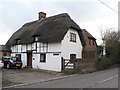
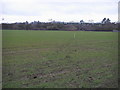
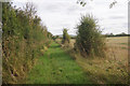
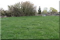
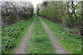
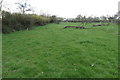
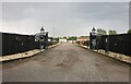
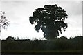
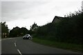
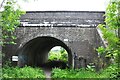
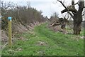
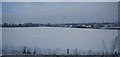
24 photos from this area
Area Information
Key information about the LU7 0QP including its size, population, and administrative classification.
- Area Type
- Postcode
- Area Size
- 2.5 hectares
- Population
- 1683
- Population Density
- 140 people/km²
House Prices in LU7 0QP
6
Properties
£267,400
Average Sold Price
£117,000
Lowest Price
£372,500
Highest Price
Showing 6 properties
| Address | Type | Beds | Baths | Last Sale Price | Last Sale Date | |
|---|---|---|---|---|---|---|
| 6 Brocas Way, Horton, LU7 0QP | house | - | - | £325,000 | Oct 2013 | |
| 5 Brocas Way, Horton, LU7 0QP | Detached | - | - | £372,500 | Apr 2009 | |
| 1 Brocas Way, Horton, LU7 0QP | Detached | - | - | £345,000 | Sep 2007 | |
| 3 Brocas Way, Horton, LU7 0QP | Bungalow | - | - | £177,500 | Apr 2000 | |
| 2 Brocas Way, Horton, LU7 0QP | Detached | - | - | £117,000 | Mar 1996 | |
| 4 Brocas Way, Horton, LU7 0QP | Detached | - | - | - | - |
Energy Efficiency in LU7 0QP
Amenities
Schools
| Rank | School | Type | Entry gender | Ages |
|---|
Explore more schools in this area
Go to Schools tabDemographics
Household Size
Two person
most common
Accommodation Type
Houses
most common
Tenure
76
majority
Ethnic Group
White
most common
Religion
N/A
most common
Household Composition
N/A
most common
Age
47
median
Adults (30-64 years)
most common
Household Deprivation
N/A
with no deprivation
NS-SEC
42
in Lower managerial occupations
Explore more demographic insights in this area
Go to Demographics tabPlanning
Planning Constraints
- Flood RiskPremium
- Ramsar Wetland SitesPremium
- Area of Outstanding Natural BeautyPremium
- Protected Nature ReservePremium
- Protected WoodlandPremium