Area Overview for LU7 0DD
Photos of LU7 0DD
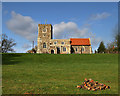
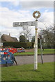
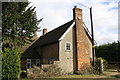
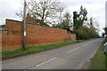
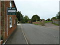
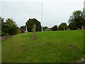
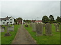
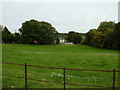
34 photos from this area
Area Information
Key information about the LU7 0DD including its size, population, and administrative classification.
- Area Type
- Postcode
- Area Size
- 8.4 hectares
- Population
- 1825
- Population Density
- 89 people/km²
House Prices in LU7 0DD
27
Properties
£445,893
Average Sold Price
£215,000
Lowest Price
£910,000
Highest Price
Showing 27 properties
| Address | Type | Beds | Baths | Last Sale Price | Last Sale Date | |
|---|---|---|---|---|---|---|
| 27 The Green, Soulbury, LU7 0DD | Semi-detached | 3 | 2 | £405,000 | Mar 2024 | |
| Cypry House, 1 Dean Farm Lane, Soulbury, LU7 0DD | house | - | - | £910,000 | Aug 2021 | |
| 22 The Green, Soulbury, LU7 0DD | Semi-detached | - | - | £465,000 | Jun 2020 | |
| 11 The Green, Soulbury, LU7 0DD | Semi-detached | 3 | 1 | £320,000 | Aug 2019 | |
| 14 The Green, Soulbury, LU7 0DD | Detached | 4 | 3 | £870,000 | Apr 2017 | |
| Green Farm, 2 The Green, Soulbury, LU7 0DD | Detached | - | - | £775,000 | Jul 2016 | |
| 13 The Green, Soulbury, LU7 0DD | Terraced | 3 | - | £280,000 | Nov 2015 | |
| 25 The Green, Soulbury, LU7 0DD | house | - | - | £237,500 | May 2014 | |
| 23 The Green, Soulbury, LU7 0DD | Terraced | 3 | - | £221,000 | Mar 2014 | |
| 17 The Green, Soulbury, LU7 0DD | house | - | - | £225,000 | Dec 2012 |
Page 1 of 3
Energy Efficiency in LU7 0DD
Amenities
Schools
| Rank | School | Type | Entry gender | Ages |
|---|
Explore more schools in this area
Go to Schools tabDemographics
Household Size
Two person
most common
Accommodation Type
Houses
most common
Tenure
80
majority
Ethnic Group
White
most common
Religion
N/A
most common
Household Composition
N/A
most common
Age
47
median
Adults (30-64 years)
most common
Household Deprivation
N/A
with no deprivation
NS-SEC
46
in Lower managerial occupations
Explore more demographic insights in this area
Go to Demographics tabPlanning
Planning Constraints
- Flood RiskPremium
- Ramsar Wetland SitesPremium
- Area of Outstanding Natural BeautyPremium
- Protected Nature ReservePremium
- Protected WoodlandPremium