Area Overview for LU7 0BX
Photos of LU7 0BX
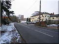
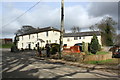
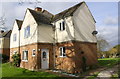
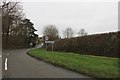

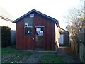
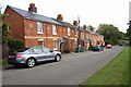
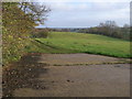
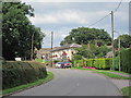


11 photos from this area
Area Information
Key information about the LU7 0BX including its size, population, and administrative classification.
- Area Type
- Postcode
- Area Size
- 3.1 hectares
- Population
- 1825
- Population Density
- 89 people/km²
House Prices in LU7 0BX
10
Properties
£765,333
Average Sold Price
£138,000
Lowest Price
£1,200,000
Highest Price
Showing 10 properties
| Address | Type | Beds | Baths | Last Sale Price | Last Sale Date | |
|---|---|---|---|---|---|---|
| 32 High Road, Soulbury, LU7 0BX | Detached | 5 | 5 | £1,200,000 | Feb 2017 | |
| 34 High Road, Soulbury, LU7 0BX | house | - | - | £1,100,000 | Feb 2017 | |
| The Old School, High Road, Soulbury, LU7 0BX | Detached | 3 | 3 | £575,000 | Dec 2016 | |
| Kirkview, 26 High Road, Soulbury, LU7 0BX | Detached | 5 | - | £629,000 | Jun 2016 | |
| The Old Vicarage, 20 High Road, Soulbury, LU7 0BX | Detached | 5 | - | £950,000 | Oct 2013 | |
| 14 High Road, Soulbury, LU7 0BX | Bungalow | 2 | - | £138,000 | Jul 2009 | |
| 2 High Road, Soulbury, LU7 0BX | Semi-detached | - | - | - | - | |
| 10 High Road, Soulbury, LU7 0BX | Bungalow | - | - | - | - | |
| 12 High Road, Soulbury, LU7 0BX | Bungalow | 2 | - | - | - | |
| 30 High Road, Soulbury, LU7 0BX | house | - | - | - | - |
Energy Efficiency in LU7 0BX
Amenities
Schools
| Rank | School | Type | Entry gender | Ages |
|---|
Explore more schools in this area
Go to Schools tabDemographics
Household Size
Two person
most common
Accommodation Type
Houses
most common
Tenure
80
majority
Ethnic Group
White
most common
Religion
N/A
most common
Household Composition
N/A
most common
Age
47
median
Adults (30-64 years)
most common
Household Deprivation
N/A
with no deprivation
NS-SEC
46
in Lower managerial occupations
Explore more demographic insights in this area
Go to Demographics tabPlanning
Planning Constraints
- Flood RiskPremium
- Ramsar Wetland SitesPremium
- Area of Outstanding Natural BeautyPremium
- Protected Nature ReservePremium
- Protected WoodlandPremium