Area Overview for Lindfield Rural & High Weald Ward
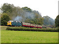
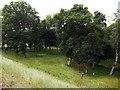
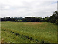
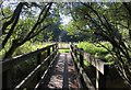
Photos of Lindfield Rural & High Weald Ward
Area Information
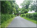
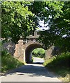
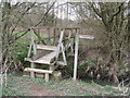
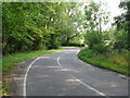
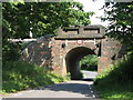
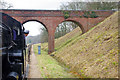
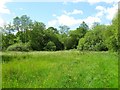
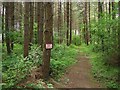
Living in Lindfield Rural & High Weald Ward offers a distinct experience defined by its significant rural character. The ward covers 56.9 km², providing a substantial slice of the High Weald landscape. You will find that daily life here moves at a different pace compared to denser urban centres. The area combines countryside tranquility with access to local amenities suitable for settled communities. This specific stretch of land forms part of the broader southern England housing market and attracts those seeking space away from congestion. Residents enjoy the benefit of a setting that feels detached from the hustle of major cities while remaining connected to essential services. The geography supports a lifestyle where nature is a permanent backdrop to your routine. Whether you are commuting or exploring on foot, the terrain of Lindfield Rural & High Weald Ward shapes how you navigate your surroundings. This ward represents a specific choice for buyers prioritising land and open skies over metropolitan density. Your experience of neighbourhood life will be framed by these clear, expansive lines and the resulting quiet atmosphere.
- Area Type
- District Borough Unitary Ward
- Area Size
- 56.9 km²
- Population
- Not available
- Population Density
- Not available
Demographics
The community within Lindfield Rural & High Weald Ward reflects an established and mature resident base. The median age is 70, indicating that the area is populated predominantly by older individuals. This demographic profile suggests a village environment where life stages focus on retirement and stability. Home ownership stands at 79%, meaning the vast majority of households own their residences outright or with a mortgage. Such high ownership rates typically correlate with long-term residents who have built ties to the local infrastructure. You are likely to encounter neighbours who have lived in Lindfield Rural & High Weald Ward for many years. The household composition and accommodation types align with this older population, favouring detached or semi-detached family homes suited for single retirees or older couples. The community feels settled, with few transient populations disrupting the local rhythm. Diversity metrics and religious affiliations are less central to the daily narrative here due to the homogeneity of age and tenure. This demographic reality means schools may cater largely to children from surrounding areas rather than within the ward itself. Life here is defined by stability and a clear generational footprint.
Household Size
Accommodation Type
Tenure
Ethnic Group
Religion
Household Composition
Age
Household Deprivation
NS-SEC
Explore more demographic insights in this area
Go to Demographics tabPlanning
Planning Constraints
- Flood RiskPremium
- Ramsar Wetland SitesPremium
- Area of Outstanding Natural BeautyPremium
- Protected Nature ReservePremium
- Protected WoodlandPremium
- Crime RiskPremium