Area Overview for Lewes
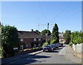
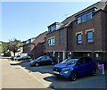
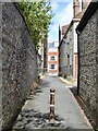
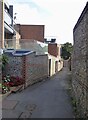
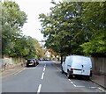
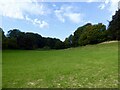
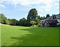
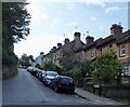
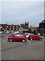
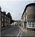
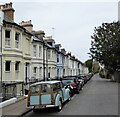
Photos of Lewes

Area Information
Living in Lewes offers a distinctly established environment within East Sussex, defined by its status as a compact built-up area. You inhabit a town occupying just 3.9 square kilometres, which creates an intimate sense of place where local landmarks and streets are easily traversable. This density fosters a community where daily routines connect residents closely with their immediate surroundings. The area functions as a cohesive whole rather than sprawling suburbs, which benefits those who prioritise short commutes and walkable access to services. Daily life here revolves around a central core that integrates housing, commerce, and transport nodes without the fragmentation found in larger urban districts. You will find that movement between residential streets and commercial hubs requires minimal effort, supporting a lifestyle where many errands can be completed on foot. This geographical compactness appeals to buyers seeking a town with a clear identity and manageable scale. The character of Lewes is shaped by its size; it lacks the anonymity of a major city but offers the stability of a recognised urban settlement. For those considering homes in Lewes, the town provides a defined setting where boundaries are clear and the overall atmosphere reflects a traditional English market town.
- Area Type
- District/Borough
- Area Size
- 3.9 km²
- Population
- Not available
- Population Density
- Not available
Demographics
The community profile of Lewes reflects a settled resident base, with a median age of 70 years. This statistic indicates a population heavily weighted towards older adults and retirees who have chosen or remained in this area. Most households involve total household composition figures, suggesting a mix of single-occupancy homes and couples living independently. The area demonstrates a high rate of stability, with 68 percent of homes currently owned by their occupants. This high home ownership level implies that many residents have long-term ties to the locality, contributing to a static social fabric rather than a transient one. You should note that the demographic data does not provide a breakdown of specific age ranges beyond the median figure, but the dominance of older age groups is clear from the central tendency. The settlement characteristics show no national minority group as predominant, and religious affiliations follow general national patterns without local concentration. This profile suits buyers looking for a neighbourhood where long-term residents dominate. The community feel is likely quiet and established, as the age structure discourages the energy typically associated with younger families or student populations. For you, this means joining a society where patience and tradition often prevail over rapid change or youthful innovation.
Household Size
Accommodation Type
Tenure
Ethnic Group
Religion
Household Composition
Age
Household Deprivation
NS-SEC
Explore more demographic insights in this area
Go to Demographics tabPlanning
Planning Constraints
- Crime RiskLocked