Area Overview for KT8 2PP
Photos of KT8 2PP
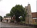
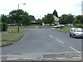
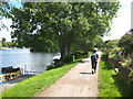
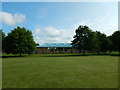
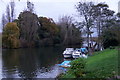
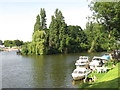
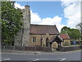
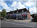
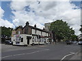
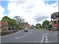
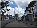
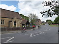
55 photos from this area
Area Information
Key information about the KT8 2PP including its size, population, and administrative classification.
- Area Type
- Postcode
- Area Size
- 6913 m²
- Population
- 1804
- Population Density
- 7237 people/km²
House Prices in KT8 2PP
25
Properties
£365,262
Average Sold Price
£94,500
Lowest Price
£645,000
Highest Price
Showing 25 properties
| Address | Type | Beds | Baths | Last Sale Price | Last Sale Date | |
|---|---|---|---|---|---|---|
| 2 Grange Road, West Molesey, KT8 2PP | Terraced | 3 | 2 | £615,000 | Nov 2022 | |
| 4 Grange Road, West Molesey, KT8 2PP | Semi-detached | 3 | 2 | £550,000 | Apr 2022 | |
| 22 Grange Road, West Molesey, KT8 2PP | house | 4 | 2 | £615,000 | Dec 2021 | |
| 30 Grange Road, West Molesey, KT8 2PP | Terraced | 1 | 1 | £279,950 | Dec 2020 | |
| 48 Grange Road, West Molesey, KT8 2PP | house | 3 | 2 | £575,000 | Jul 2020 | |
| 10 Grange Road, West Molesey, KT8 2PP | house | 4 | 2 | £645,000 | Nov 2017 | |
| 34 Grange Road, West Molesey, KT8 2PP | Terraced | 1 | 1 | £244,000 | Jun 2015 | |
| 38 Grange Road, West Molesey, KT8 2PP | house | 1 | - | £250,000 | Aug 2014 | |
| 36 Grange Road, West Molesey, KT8 2PP | house | - | - | £203,950 | Nov 2012 | |
| 24 Grange Road, West Molesey, KT8 2PP | house | - | - | £285,000 | Mar 2011 |
Page 1 of 3
Energy Efficiency in KT8 2PP
Amenities
Schools
| Rank | School | Type | Entry gender | Ages |
|---|
Explore more schools in this area
Go to Schools tabDemographics
Household Size
One person
most common
Accommodation Type
Houses
most common
Tenure
51
majority
Ethnic Group
White
most common
Religion
N/A
most common
Household Composition
N/A
most common
Age
47
median
Adults (30-64 years)
most common
Household Deprivation
N/A
with no deprivation
NS-SEC
34
in Lower managerial occupations
Explore more demographic insights in this area
Go to Demographics tabPlanning
Planning Constraints
- Flood RiskPremium
- Ramsar Wetland SitesPremium
- Area of Outstanding Natural BeautyPremium
- Protected Nature ReservePremium
- Protected WoodlandPremium