Area Overview for KT8 1RP
Photos of KT8 1RP
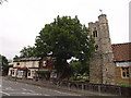
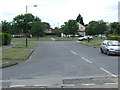
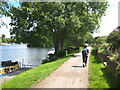
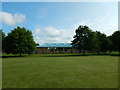
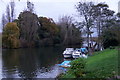
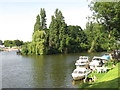
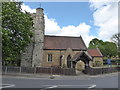
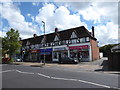
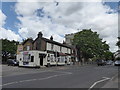
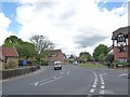
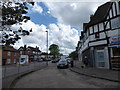
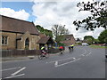
55 photos from this area
Area Information
Key information about the KT8 1RP including its size, population, and administrative classification.
- Area Type
- Postcode
- Area Size
- 8628 m²
- Population
- 1443
- Population Density
- 2689 people/km²
House Prices in KT8 1RP
23
Properties
£327,994
Average Sold Price
£249,950
Lowest Price
£370,000
Highest Price
Showing 23 properties
| Address | Type | Beds | Baths | Last Sale Price | Last Sale Date | |
|---|---|---|---|---|---|---|
| 16 Mountwood, West Molesey, KT8 1RP | Retail | 2 | 1 | £370,000 | Jan 2023 | |
| 24 Mountwood, West Molesey, KT8 1RP | Maisonette | 2 | 1 | £360,000 | Oct 2021 | |
| 3 Mountwood, West Molesey, KT8 1RP | Maisonette | 2 | 1 | £325,000 | Jun 2019 | |
| 26 Mountwood, West Molesey, KT8 1RP | Maisonette | 2 | 1 | £345,000 | Jul 2018 | |
| 15 Mountwood, West Molesey, KT8 1RP | Maisonette | 3 | 1 | £322,000 | Oct 2017 | |
| 17 Mountwood, West Molesey, KT8 1RP | Maisonette | 2 | 1 | £327,000 | May 2016 | |
| 28 Mountwood, West Molesey, KT8 1RP | Flat | 2 | - | £325,000 | Oct 2015 | |
| 14 Mountwood, West Molesey, KT8 1RP | Maisonette | 2 | 1 | £249,950 | Feb 2014 | |
| 11 Mountwood, West Molesey, KT8 1RP | Maisonette | 2 | 1 | - | - | |
| 20 Mountwood, West Molesey, KT8 1RP | Maisonette | 2 | 1 | - | - |
Page 1 of 3
Energy Efficiency in KT8 1RP
Amenities
Schools
| Rank | School | Type | Entry gender | Ages |
|---|
Explore more schools in this area
Go to Schools tabDemographics
Household Size
Family (3-5 people)
most common
Accommodation Type
Houses
most common
Tenure
80
majority
Ethnic Group
White
most common
Religion
N/A
most common
Household Composition
N/A
most common
Age
47
median
Adults (30-64 years)
most common
Household Deprivation
N/A
with no deprivation
NS-SEC
47
in Lower managerial occupations
Explore more demographic insights in this area
Go to Demographics tabPlanning
Planning Constraints
- Flood RiskPremium
- Ramsar Wetland SitesPremium
- Area of Outstanding Natural BeautyPremium
- Protected Nature ReservePremium
- Protected WoodlandPremium