Area Overview for KT7 0BE
Photos of KT7 0BE
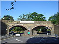
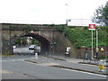
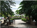
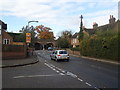
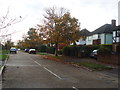
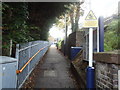
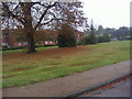
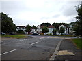
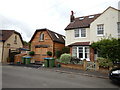
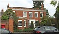
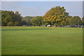
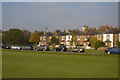
62 photos from this area
Area Information
Key information about the KT7 0BE including its size, population, and administrative classification.
- Area Type
- Postcode
- Area Size
- 1.0 hectares
- Population
- 1585
- Population Density
- 4239 people/km²
House Prices in KT7 0BE
24
Properties
£588,636
Average Sold Price
£315,000
Lowest Price
£950,000
Highest Price
Showing 24 properties
| Address | Type | Beds | Baths | Last Sale Price | Last Sale Date | |
|---|---|---|---|---|---|---|
| 26 Hayward Road, Thames Ditton, KT7 0BE | Semi-detached | 4 | 2 | £950,000 | Aug 2025 | |
| 38 Hayward Road, Thames Ditton, KT7 0BE | Semi-detached | 2 | 2 | £680,000 | Jan 2021 | |
| 48 Hayward Road, Thames Ditton, KT7 0BE | Semi-detached | 4 | 2 | £782,500 | Jun 2019 | |
| 42 Hayward Road, Thames Ditton, KT7 0BE | Terraced | 3 | - | £655,000 | Jun 2014 | |
| 22 Hayward Road, Thames Ditton, KT7 0BE | house | 5 | - | £750,000 | Jun 2010 | |
| 2 Hayward Road, Thames Ditton, KT7 0BE | Detached | 3 | 2 | £577,500 | Feb 2006 | |
| 18 Hayward Road, Thames Ditton, KT7 0BE | Detached | 5 | 3 | £530,000 | Sep 2003 | |
| 8 Hayward Road, Thames Ditton, KT7 0BE | Detached | 4 | 2 | £500,000 | Dec 2001 | |
| 24 Hayward Road, Thames Ditton, KT7 0BE | Semi-detached | - | - | £375,000 | Dec 2000 | |
| 12 Hayward Road, Thames Ditton, KT7 0BE | Detached | - | - | £360,000 | Sep 1998 |
Page 1 of 3
Energy Efficiency in KT7 0BE
Amenities
Schools
| Rank | School | Type | Entry gender | Ages |
|---|
Explore more schools in this area
Go to Schools tabDemographics
Household Size
Family (3-5 people)
most common
Accommodation Type
Houses
most common
Tenure
84
majority
Ethnic Group
White
most common
Religion
N/A
most common
Household Composition
N/A
most common
Age
47
median
Adults (30-64 years)
most common
Household Deprivation
N/A
with no deprivation
NS-SEC
57
in Lower managerial occupations
Explore more demographic insights in this area
Go to Demographics tabPlanning
Planning Constraints
- Flood RiskPremium
- Ramsar Wetland SitesPremium
- Area of Outstanding Natural BeautyPremium
- Protected Nature ReservePremium
- Protected WoodlandPremium