Area Overview for KT6 5RH
Photos of KT6 5RH
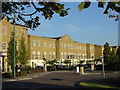
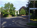
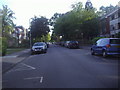
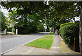
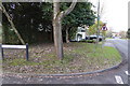
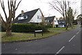
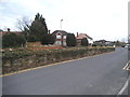
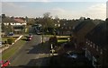
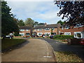
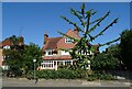

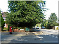
26 photos from this area
Area Information
Key information about the KT6 5RH including its size, population, and administrative classification.
- Area Type
- Postcode
- Area Size
- 7628 m²
- Population
- 1840
- Population Density
- 4929 people/km²
House Prices in KT6 5RH
22
Properties
£898,000
Average Sold Price
£365,000
Lowest Price
£1,200,000
Highest Price
Showing 22 properties
| Address | Type | Beds | Baths | Last Sale Price | Last Sale Date | |
|---|---|---|---|---|---|---|
| 22 Savery Drive, Long Ditton, Surbiton, KT6 5RH | Detached | 4 | 3 | £1,200,000 | Dec 2023 | |
| 40 Savery Drive, Long Ditton, Surbiton, KT6 5RH | Terraced | 4 | 3 | £1,100,000 | Jun 2022 | |
| 32 Savery Drive, Long Ditton, Surbiton, KT6 5RH | house | - | - | £1,040,000 | Sep 2021 | |
| 44 Savery Drive, Long Ditton, Surbiton, KT6 5RH | house | 5 | 3 | £980,000 | Feb 2018 | |
| 30 Savery Drive, Long Ditton, Surbiton, KT6 5RH | house | - | - | £990,000 | Mar 2016 | |
| 12 Savery Drive, Long Ditton, Surbiton, KT6 5RH | house | 6 | - | £1,135,000 | Jul 2011 | |
| 20 Savery Drive, Long Ditton, Surbiton, KT6 5RH | Detached | 4 | 3 | £760,000 | Mar 2011 | |
| 18 Savery Drive, Long Ditton, Surbiton, KT6 5RH | Detached | 4 | 3 | £720,000 | May 2007 | |
| 14 Savery Drive, Long Ditton, Surbiton, KT6 5RH | house | - | - | £690,000 | Sep 2001 | |
| 26 Savery Drive, Long Ditton, Surbiton, KT6 5RH | Semi-detached | 4 | 3 | £365,000 | Oct 2000 |
Page 1 of 3
Energy Efficiency in KT6 5RH
Amenities
Schools
| Rank | School | Type | Entry gender | Ages |
|---|
Explore more schools in this area
Go to Schools tabDemographics
Household Size
Family (3-5 people)
most common
Accommodation Type
Houses
most common
Tenure
66
majority
Ethnic Group
White
most common
Religion
N/A
most common
Household Composition
N/A
most common
Age
47
median
Adults (30-64 years)
most common
Household Deprivation
N/A
with no deprivation
NS-SEC
60
in Lower managerial occupations
Explore more demographic insights in this area
Go to Demographics tabPlanning
Planning Constraints
- Flood RiskPremium
- Ramsar Wetland SitesPremium
- Area of Outstanding Natural BeautyPremium
- Protected Nature ReservePremium
- Protected WoodlandPremium