Area Overview for KT6 5EP
Photos of KT6 5EP
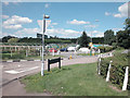
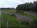
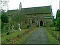
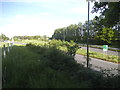
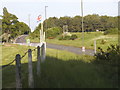
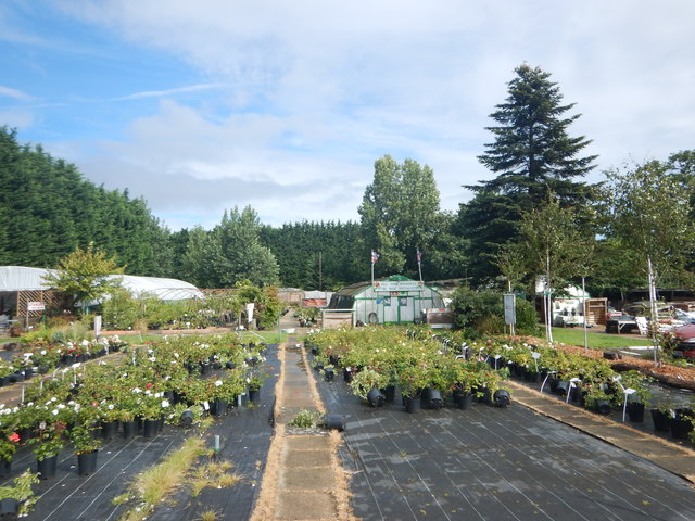
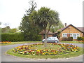
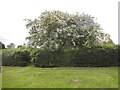
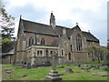
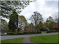
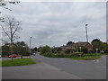
40 photos from this area
Area Information
Key information about the KT6 5EP including its size, population, and administrative classification.
- Area Type
- Postcode
- Area Size
- 9.4 hectares
- Population
- 1627
- Population Density
- 1554 people/km²
House Prices in KT6 5EP
32
Properties
£813,269
Average Sold Price
£265,000
Lowest Price
£1,530,000
Highest Price
Showing 32 properties
| Address | Type | Beds | Baths | Last Sale Price | Last Sale Date | |
|---|---|---|---|---|---|---|
| 59 Church Meadow, Long Ditton, Surbiton, KT6 5EP | Detached | 5 | 3 | £1,530,000 | Apr 2024 | |
| 55 Church Meadow, Long Ditton, Surbiton, KT6 5EP | Detached | 5 | 2 | £1,350,000 | Apr 2023 | |
| 23 Church Meadow, Long Ditton, Surbiton, KT6 5EP | house | 4 | 2 | £1,422,500 | Aug 2022 | |
| 51 Church Meadow, Long Ditton, Surbiton, KT6 5EP | house | - | - | £1,065,000 | Aug 2016 | |
| 29 Church Meadow, Long Ditton, Surbiton, KT6 5EP | Detached | 4 | 2 | £1,075,000 | Dec 2014 | |
| 33 Church Meadow, Long Ditton, Surbiton, KT6 5EP | Detached | 6 | 3 | £940,000 | Sep 2013 | |
| 11 Church Meadow, Long Ditton, Surbiton, KT6 5EP | house | 4 | - | £640,000 | Jan 2012 | |
| 37 Church Meadow, Long Ditton, Surbiton, KT6 5EP | Detached | - | - | £675,000 | Jan 2009 | |
| 43 Church Meadow, Long Ditton, Surbiton, KT6 5EP | Detached | - | - | £475,000 | May 2002 | |
| 5 Church Meadow, Long Ditton, Surbiton, KT6 5EP | Detached | 4 | 2 | £420,000 | May 2002 |
Page 1 of 4
Energy Efficiency in KT6 5EP
Amenities
Schools
| Rank | School | Type | Entry gender | Ages |
|---|
Explore more schools in this area
Go to Schools tabDemographics
Household Size
Family (3-5 people)
most common
Accommodation Type
Houses
most common
Tenure
82
majority
Ethnic Group
White
most common
Religion
N/A
most common
Household Composition
N/A
most common
Age
47
median
Adults (30-64 years)
most common
Household Deprivation
N/A
with no deprivation
NS-SEC
51
in Lower managerial occupations
Explore more demographic insights in this area
Go to Demographics tabPlanning
Planning Constraints
- Flood RiskPremium
- Ramsar Wetland SitesPremium
- Area of Outstanding Natural BeautyPremium
- Protected Nature ReservePremium
- Protected WoodlandPremium