Area Overview for KT4 7DB
Photos of KT4 7DB

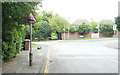
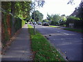
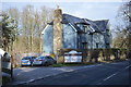
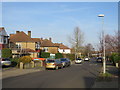
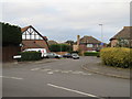
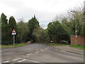
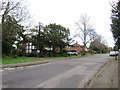
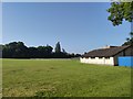
29 photos from this area
Area Information
Key information about the KT4 7DB including its size, population, and administrative classification.
- Area Type
- Postcode
- Area Size
- 2.5 hectares
- Population
- 1558
- Population Density
- 6786 people/km²
House Prices in KT4 7DB
52
Properties
£469,417
Average Sold Price
£245,000
Lowest Price
£875,050
Highest Price
Showing 52 properties
| Address | Type | Beds | Baths | Last Sale Price | Last Sale Date | |
|---|---|---|---|---|---|---|
| 92 Cuddington Avenue, Worcester Park, KT4 7DB | Terraced | 4 | 2 | £565,000 | Jan 2024 | |
| 66 Cuddington Avenue, Worcester Park, KT4 7DB | Semi-detached | 3 | 2 | £565,000 | Sep 2023 | |
| 60 Cuddington Avenue, Worcester Park, KT4 7DB | Terraced | 3 | 2 | £565,000 | Sep 2023 | |
| 62 Cuddington Avenue, Worcester Park, KT4 7DB | house | - | - | £565,000 | Dec 2022 | |
| 46 Cuddington Avenue, Worcester Park, KT4 7DB | Detached | 3 | 1 | £750,000 | Nov 2022 | |
| 90 Cuddington Avenue, Worcester Park, KT4 7DB | house | 4 | - | £590,000 | May 2022 | |
| 82 Cuddington Avenue, Worcester Park, KT4 7DB | Flat | - | - | £360,000 | May 2022 | |
| 48 Cuddington Avenue, Worcester Park, KT4 7DB | Terraced | 4 | 1 | £555,000 | Feb 2022 | |
| 33 Cuddington Avenue, Worcester Park, KT4 7DB | house | - | - | £800,000 | Nov 2021 | |
| 11 Cuddington Avenue, Worcester Park, KT4 7DB | house | - | - | £875,050 | Aug 2021 |
Page 1 of 6
Energy Efficiency in KT4 7DB
Amenities
Schools
| Rank | School | Type | Entry gender | Ages |
|---|
Explore more schools in this area
Go to Schools tabDemographics
Household Size
Family (3-5 people)
most common
Accommodation Type
Houses
most common
Tenure
83
majority
Ethnic Group
White
most common
Religion
N/A
most common
Household Composition
N/A
most common
Age
47
median
Adults (30-64 years)
most common
Household Deprivation
N/A
with no deprivation
NS-SEC
44
in Lower managerial occupations
Explore more demographic insights in this area
Go to Demographics tabPlanning
Planning Constraints
- Flood RiskPremium
- Ramsar Wetland SitesPremium
- Area of Outstanding Natural BeautyPremium
- Protected Nature ReservePremium
- Protected WoodlandPremium