Area Overview for KT4 7BQ
Photos of KT4 7BQ

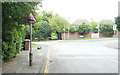
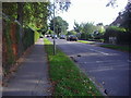

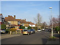
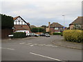
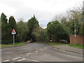
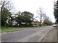
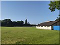
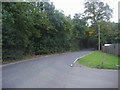
29 photos from this area
Area Information
Key information about the KT4 7BQ including its size, population, and administrative classification.
- Area Type
- Postcode
- Area Size
- 6968 m²
- Population
- 1545
- Population Density
- 4748 people/km²
House Prices in KT4 7BQ
14
Properties
£413,033
Average Sold Price
£123,500
Lowest Price
£875,000
Highest Price
Showing 14 properties
| Address | Type | Beds | Baths | Last Sale Price | Last Sale Date | |
|---|---|---|---|---|---|---|
| 5 Fairford Gardens, Worcester Park, KT4 7BQ | Semi-detached | 3 | 2 | £875,000 | Mar 2025 | |
| 15 Fairford Gardens, Worcester Park, KT4 7BQ | Semi-detached | 5 | 2 | £852,500 | Apr 2022 | |
| 21 Fairford Gardens, Worcester Park, KT4 7BQ | house | - | - | £585,000 | Mar 2021 | |
| 23 Fairford Gardens, Worcester Park, KT4 7BQ | Semi-detached | 3 | - | £525,000 | Aug 2014 | |
| 4 Fairford Gardens, Worcester Park, KT4 7BQ | house | 3 | - | £344,950 | Aug 2012 | |
| 19 Fairford Gardens, Worcester Park, KT4 7BQ | house | 3 | - | £374,000 | Aug 2011 | |
| 7 Fairford Gardens, Worcester Park, KT4 7BQ | Semi-detached | 4 | 2 | £420,000 | Jul 2011 | |
| 2 Fairford Gardens, Worcester Park, KT4 7BQ | Semi-detached | 4 | 2 | £420,000 | Aug 2006 | |
| 9 Fairford Gardens, Worcester Park, KT4 7BQ | Detached | 4 | 2 | £164,500 | Jun 1998 | |
| 1 Fairford Gardens, Worcester Park, KT4 7BQ | Semi-detached | 4 | 2 | £146,950 | Oct 1997 |
Page 1 of 2
Energy Efficiency in KT4 7BQ
Amenities
Schools
| Rank | School | Type | Entry gender | Ages |
|---|
Explore more schools in this area
Go to Schools tabDemographics
Household Size
Family (3-5 people)
most common
Accommodation Type
Houses
most common
Tenure
63
majority
Ethnic Group
White
most common
Religion
N/A
most common
Household Composition
N/A
most common
Age
47
median
Adults (30-64 years)
most common
Household Deprivation
N/A
with no deprivation
NS-SEC
45
in Lower managerial occupations
Explore more demographic insights in this area
Go to Demographics tabPlanning
Planning Constraints
- Flood RiskPremium
- Ramsar Wetland SitesPremium
- Area of Outstanding Natural BeautyPremium
- Protected Nature ReservePremium
- Protected WoodlandPremium