Area Overview for KT24 6SB
Photos of KT24 6SB
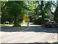
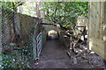

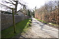
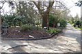
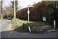
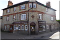
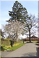
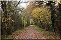


33 photos from this area
Area Information
Key information about the KT24 6SB including its size, population, and administrative classification.
- Area Type
- Postcode
- Area Size
- 3.0 hectares
- Population
- 1446
- Population Density
- 1327 people/km²
House Prices in KT24 6SB
16
Properties
£952,727
Average Sold Price
£190,000
Lowest Price
£1,950,000
Highest Price
Showing 16 properties
| Address | Type | Beds | Baths | Last Sale Price | Last Sale Date | |
|---|---|---|---|---|---|---|
| Ethandown, Manor Close, East Horsley, KT24 6SB | house | - | - | £1,625,000 | Nov 2021 | |
| Monks Croft, Manor Close, East Horsley, KT24 6SB | Detached | 5 | 3 | £1,950,000 | Jun 2021 | |
| Dalehurst, Manor Close, East Horsley, KT24 6SB | Detached | 5 | 2 | £1,110,000 | Jan 2020 | |
| Fair Winds, Manor Close, East Horsley, KT24 6SB | Detached | 4 | 1 | £1,950,000 | Nov 2018 | |
| Hawkhurst, Manor Close, East Horsley, KT24 6SB | house | - | - | £1,300,000 | Jul 2018 | |
| Arabesque, Manor Close, East Horsley, KT24 6SB | Bungalow | 3 | - | £700,000 | May 2015 | |
| Elm Tree, Manor Close, East Horsley, KT24 6SB | Detached | - | - | £525,000 | Apr 2002 | |
| Willowend, Manor Close, East Horsley, KT24 6SB | Detached | - | - | £470,000 | Jul 2001 | |
| Cornerways, Manor Close, East Horsley, KT24 6SB | Detached | - | - | £440,000 | Jan 2000 | |
| Stretton, Manor Close, East Horsley, KT24 6SB | Detached | - | - | £220,000 | Sep 1996 |
Page 1 of 2
Energy Efficiency in KT24 6SB
Amenities
Schools
| Rank | School | Type | Entry gender | Ages |
|---|
Explore more schools in this area
Go to Schools tabDemographics
Household Size
Two person
most common
Accommodation Type
Houses
most common
Tenure
71
majority
Ethnic Group
White
most common
Religion
N/A
most common
Household Composition
N/A
most common
Age
47
median
Adults (30-64 years)
most common
Household Deprivation
N/A
with no deprivation
NS-SEC
51
in Lower managerial occupations
Explore more demographic insights in this area
Go to Demographics tabPlanning
Planning Constraints
- Flood RiskPremium
- Ramsar Wetland SitesPremium
- Area of Outstanding Natural BeautyPremium
- Protected Nature ReservePremium
- Protected WoodlandPremium