Area Overview for KT24 5RE
Photos of KT24 5RE
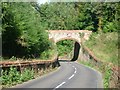
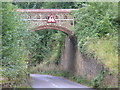
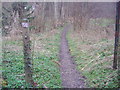
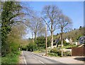
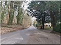
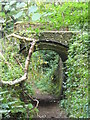
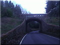
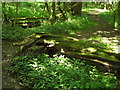
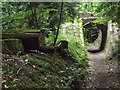
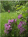
45 photos from this area
Area Information
Key information about the KT24 5RE including its size, population, and administrative classification.
- Area Type
- Postcode
- Area Size
- 18.0 hectares
- Population
- 1455
- Population Density
- 314 people/km²
House Prices in KT24 5RE
24
Properties
£886,000
Average Sold Price
£225,000
Lowest Price
£2,200,000
Highest Price
Showing 24 properties
| Address | Type | Beds | Baths | Last Sale Price | Last Sale Date | |
|---|---|---|---|---|---|---|
| Forest View, Green Dene, East Horsley, KT24 5RE | Detached | 5 | - | £2,200,000 | May 2021 | |
| Sherwood, Green Dene, East Horsley, KT24 5RE | house | 5 | 2 | £1,230,000 | Sep 2020 | |
| Upcote, Green Dene, East Horsley, KT24 5RE | Detached | 3 | 2 | £828,500 | Mar 2015 | |
| Roundwood Cottage, Green Dene, East Horsley, KT24 5RE | Detached | 4 | - | £760,000 | Nov 2014 | |
| Rozelle, Green Dene, East Horsley, KT24 5RE | Detached | 4 | - | £835,000 | Nov 2013 | |
| Timbervale, Green Dene, East Horsley, KT24 5RE | Detached | 4 | - | £997,500 | Jul 2012 | |
| Moss Wood, Green Dene, East Horsley, KT24 5RE | Bungalow | 4 | - | £924,000 | Dec 2009 | |
| Holly Cottage, Green Dene, East Horsley, KT24 5RE | Detached | - | - | £420,000 | Aug 2009 | |
| Wakefield, Green Dene, East Horsley, KT24 5RE | Detached | - | - | £875,000 | Sep 2006 | |
| Wildacres, Green Dene, East Horsley, KT24 5RE | Detached | 4 | - | £1,225,000 | Aug 2006 |
Page 1 of 3
Energy Efficiency in KT24 5RE
Amenities
Schools
| Rank | School | Type | Entry gender | Ages |
|---|
Explore more schools in this area
Go to Schools tabDemographics
Household Size
Family (3-5 people)
most common
Accommodation Type
Houses
most common
Tenure
96
majority
Ethnic Group
White
most common
Religion
N/A
most common
Household Composition
N/A
most common
Age
47
median
Adults (30-64 years)
most common
Household Deprivation
N/A
with no deprivation
NS-SEC
60
in Lower managerial occupations
Explore more demographic insights in this area
Go to Demographics tabPlanning
Planning Constraints
- Flood RiskPremium
- Ramsar Wetland SitesPremium
- Area of Outstanding Natural BeautyPremium
- Protected Nature ReservePremium
- Protected WoodlandPremium