Area Overview for KT24 5ER
Photos of KT24 5ER
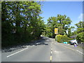
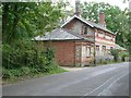
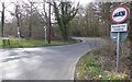
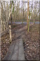
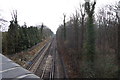
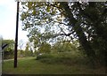
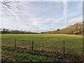
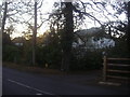
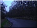
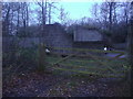
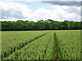
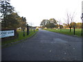
22 photos from this area
Area Information
Key information about the KT24 5ER including its size, population, and administrative classification.
- Area Type
- Postcode
- Area Size
- 3.1 hectares
- Population
- 1369
- Population Density
- 813 people/km²
House Prices in KT24 5ER
21
Properties
£872,857
Average Sold Price
£172,000
Lowest Price
£1,495,000
Highest Price
Showing 21 properties
| Address | Type | Beds | Baths | Last Sale Price | Last Sale Date | |
|---|---|---|---|---|---|---|
| Silver Birch, Forest Road, East Horsley, KT24 5ER | Detached | 5 | 3 | £1,495,000 | Dec 2021 | |
| Katrine, Forest Road, East Horsley, KT24 5ER | house | - | - | £1,292,000 | Sep 2021 | |
| Berberis, Forest Road, East Horsley, KT24 5ER | Detached | 4 | - | £1,165,000 | Mar 2021 | |
| Rydal House, Forest Road, East Horsley, KT24 5ER | Detached | 4 | 2 | £1,375,000 | Jul 2019 | |
| Ferndene, Forest Road, East Horsley, KT24 5ER | house | - | - | £1,285,000 | Jul 2017 | |
| Manesty, Forest Road, East Horsley, KT24 5ER | Detached | 4 | - | £929,000 | Dec 2013 | |
| Rushmore, Forest Road, East Horsley, KT24 5ER | Detached | 5 | 2 | £985,000 | Sep 2013 | |
| Oaklea, Forest Road, East Horsley, KT24 5ER | Semi-detached | 2 | - | £357,000 | Jan 2013 | |
| The Bothy, Forest Road, East Horsley, KT24 5ER | house | 4 | - | £835,000 | May 2012 | |
| Two Beeches, Forest Road, East Horsley, KT24 5ER | house | 4 | 2 | £415,000 | Aug 2009 |
Page 1 of 3
Energy Efficiency in KT24 5ER
Amenities
Schools
| Rank | School | Type | Entry gender | Ages |
|---|
Explore more schools in this area
Go to Schools tabDemographics
Household Size
Family (3-5 people)
most common
Accommodation Type
Houses
most common
Tenure
92
majority
Ethnic Group
White
most common
Religion
N/A
most common
Household Composition
N/A
most common
Age
47
median
Adults (30-64 years)
most common
Household Deprivation
N/A
with no deprivation
NS-SEC
56
in Lower managerial occupations
Explore more demographic insights in this area
Go to Demographics tabPlanning
Planning Constraints
- Flood RiskPremium
- Ramsar Wetland SitesPremium
- Area of Outstanding Natural BeautyPremium
- Protected Nature ReservePremium
- Protected WoodlandPremium