Area Overview for KT22 9JE
Photos of KT22 9JE
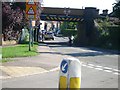
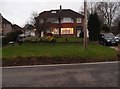
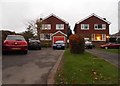
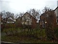
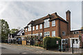
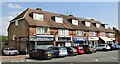
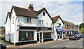
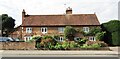
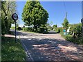
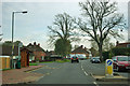
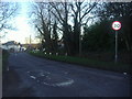
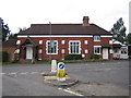
32 photos from this area
Area Information
Key information about the KT22 9JE including its size, population, and administrative classification.
- Area Type
- Postcode
- Area Size
- 3406 m²
- Population
- 1639
- Population Density
- 362 people/km²
House Prices in KT22 9JE
7
Properties
£411,500
Average Sold Price
£136,000
Lowest Price
£680,000
Highest Price
Showing 7 properties
| Address | Type | Beds | Baths | Last Sale Price | Last Sale Date | |
|---|---|---|---|---|---|---|
| 173 Cobham Road, Fetcham, KT22 9JE | house | 2 | 1 | £680,000 | Aug 2022 | |
| 169 Cobham Road, Fetcham, KT22 9JE | Terraced | 3 | 1 | £555,000 | Aug 2017 | |
| 175 Cobham Road, Fetcham, KT22 9JE | house | 3 | - | £275,000 | May 2011 | |
| 177 Cobham Road, Fetcham, KT22 9JE | Semi-detached | - | - | £136,000 | Dec 1998 | |
| Ypriana, 173B Cobham Road, Fetcham, KT22 9JE | Detached | 3 | 1 | - | - | |
| Craythorne, 173A Cobham Road, Fetcham, KT22 9JE | Semi-detached | 3 | 1 | - | - | |
| Little Head Quarters, 171 Cobham Road, Fetcham, KT22 9JE | Terraced | - | - | - | - |
Energy Efficiency in KT22 9JE
Amenities
Schools
| Rank | School | Type | Entry gender | Ages |
|---|
Explore more schools in this area
Go to Schools tabDemographics
Household Size
Family (3-5 people)
most common
Accommodation Type
Houses
most common
Tenure
89
majority
Ethnic Group
White
most common
Religion
N/A
most common
Household Composition
N/A
most common
Age
47
median
Adults (30-64 years)
most common
Household Deprivation
N/A
with no deprivation
NS-SEC
45
in Lower managerial occupations
Explore more demographic insights in this area
Go to Demographics tabPlanning
Planning Constraints
- Flood RiskPremium
- Ramsar Wetland SitesPremium
- Area of Outstanding Natural BeautyPremium
- Protected Nature ReservePremium
- Protected WoodlandPremium