Area Overview for KT22 8SF
Photos of KT22 8SF
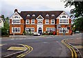
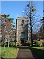
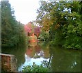
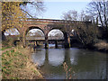
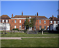
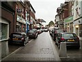
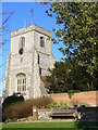
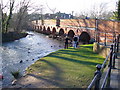
100 photos from this area
Area Information
Key information about the KT22 8SF including its size, population, and administrative classification.
- Area Type
- Postcode
- Area Size
- 1.1 hectares
- Population
- 1695
- Population Density
- 1650 people/km²
House Prices in KT22 8SF
51
Properties
£340,394
Average Sold Price
£98,000
Lowest Price
£725,000
Highest Price
Showing 51 properties
| Address | Type | Beds | Baths | Last Sale Price | Last Sale Date | |
|---|---|---|---|---|---|---|
| 19 Poplar Road, Leatherhead, KT22 8SF | Semi-detached | 2 | 1 | £490,000 | Mar 2025 | |
| 21 Poplar Road, Leatherhead, KT22 8SF | Semi-detached | 3 | 2 | £620,000 | Jul 2023 | |
| 7 Poplar Road, Leatherhead, KT22 8SF | Maisonette | - | - | £335,000 | Dec 2022 | |
| Box Cottage, 91 Poplar Road, Leatherhead, KT22 8SF | Bungalow | 4 | 1 | £725,000 | Nov 2022 | |
| 3 Poplar Road, Leatherhead, KT22 8SF | Semi-detached | 3 | 1 | £575,000 | Sep 2021 | |
| 3A Poplar Road, Leatherhead, KT22 8SF | Semi-detached | 3 | 1 | £510,000 | May 2021 | |
| 15 Poplar Road, Leatherhead, KT22 8SF | Semi-detached | 2 | 1 | £477,000 | Nov 2018 | |
| 9 Poplar Road, Leatherhead, KT22 8SF | house | - | - | £475,000 | Jun 2018 | |
| 45 Poplar Road, Leatherhead, KT22 8SF | Semi-detached | 1 | 1 | £290,000 | May 2018 | |
| 23 Poplar Road, Leatherhead, KT22 8SF | Detached | - | - | £270,000 | Aug 2016 |
Page 1 of 6
Energy Efficiency in KT22 8SF
Amenities
Schools
| Rank | School | Type | Entry gender | Ages |
|---|
Explore more schools in this area
Go to Schools tabDemographics
Household Size
One person
most common
Accommodation Type
Houses
most common
Tenure
75
majority
Ethnic Group
White
most common
Religion
N/A
most common
Household Composition
N/A
most common
Age
47
median
Adults (30-64 years)
most common
Household Deprivation
N/A
with no deprivation
NS-SEC
51
in Lower managerial occupations
Explore more demographic insights in this area
Go to Demographics tabPlanning
Planning Constraints
- Flood RiskPremium
- Ramsar Wetland SitesPremium
- Area of Outstanding Natural BeautyPremium
- Protected Nature ReservePremium
- Protected WoodlandPremium