Area Overview for KT22 7HG
Photos of KT22 7HG
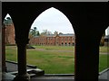
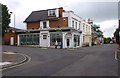
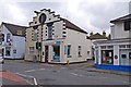
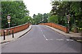
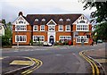
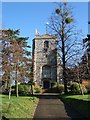
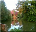
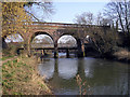
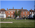
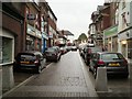
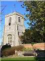
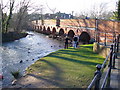
100 photos from this area
Area Information
Key information about the KT22 7HG including its size, population, and administrative classification.
- Area Type
- Postcode
- Area Size
- 2547 m²
- Population
- 1815
- Population Density
- 2741 people/km²
House Prices in KT22 7HG
13
Properties
£292,094
Average Sold Price
£210,000
Lowest Price
£405,000
Highest Price
Showing 13 properties
| Address | Type | Beds | Baths | Last Sale Price | Last Sale Date | |
|---|---|---|---|---|---|---|
| Salehurst, 18 Gravel Hill, Leatherhead, KT22 7HG | Terraced | 3 | 1 | £405,000 | Oct 2020 | |
| 1 Gravel Hill, Leatherhead, KT22 7HG | Semi-detached | 2 | 2 | £340,000 | Mar 2016 | |
| 14 Gravel Hill, Leatherhead, KT22 7HG | Semi-detached | 1 | 1 | £254,562 | Sep 2014 | |
| 3 Gravel Hill, Leatherhead, KT22 7HG | Flat | 1 | 1 | £220,000 | Mar 2014 | |
| 16 Gravel Hill, Leatherhead, KT22 7HG | Terraced | - | - | £323,000 | Apr 2008 | |
| 10 Gravel Hill, Leatherhead, KT22 7HG | house | 2 | - | £210,000 | Jan 2004 | |
| Flat 1, 9 Gravel Hill, Leatherhead, KT22 7HG | Flat | 1 | 1 | - | - | |
| Twm Solicitors, Sweech House, 2-8 Gravel Hill, Leatherhead, KT22 7HG | Office | - | - | - | - | |
| Flat 2, 9 Gravel Hill, Leatherhead, KT22 7HG | Flat | - | - | - | - | |
| Flat 3, 9 Gravel Hill, Leatherhead, KT22 7HG | Flat | - | - | - | - |
Page 1 of 2
Energy Efficiency in KT22 7HG
Amenities
Schools
| Rank | School | Type | Entry gender | Ages |
|---|
Explore more schools in this area
Go to Schools tabDemographics
Household Size
One person
most common
Accommodation Type
Flats
most common
Tenure
46
majority
Ethnic Group
White
most common
Religion
N/A
most common
Household Composition
N/A
most common
Age
47
median
Adults (30-64 years)
most common
Household Deprivation
N/A
with no deprivation
NS-SEC
42
in Lower managerial occupations
Explore more demographic insights in this area
Go to Demographics tabPlanning
Planning Constraints
- Flood RiskPremium
- Ramsar Wetland SitesPremium
- Area of Outstanding Natural BeautyPremium
- Protected Nature ReservePremium
- Protected WoodlandPremium