Area Overview for KT22 0DJ
Photos of KT22 0DJ
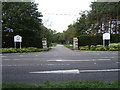
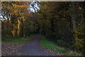
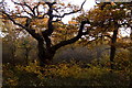
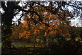
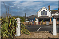
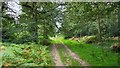
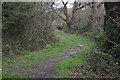
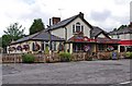
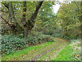
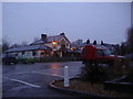
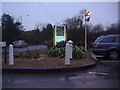
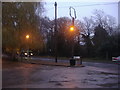
20 photos from this area
Area Information
Key information about the KT22 0DJ including its size, population, and administrative classification.
- Area Type
- Postcode
- Area Size
- 63.5 hectares
- Population
- 2275
- Population Density
- 534 people/km²
House Prices in KT22 0DJ
34
Properties
£1,681,522
Average Sold Price
£550,000
Lowest Price
£3,450,000
Highest Price
Showing 34 properties
| Address | Type | Beds | Baths | Last Sale Price | Last Sale Date | |
|---|---|---|---|---|---|---|
| Southgate House, Pachesham Park, Leatherhead, KT22 0DJ | Detached | 6 | 5 | £3,450,000 | Jul 2021 | |
| West Acre, Pachesham Park, Leatherhead, KT22 0DJ | house | - | - | £2,100,000 | May 2021 | |
| Mellows, Pachesham Park, Leatherhead, KT22 0DJ | Detached | 5 | 4 | £2,000,000 | Dec 2020 | |
| Laynston House, Pachesham Park, Leatherhead, KT22 0DJ | Detached | 5 | 4 | £2,900,000 | Feb 2019 | |
| York House, Pachesham Park, Leatherhead, KT22 0DJ | Detached | 6 | 5 | £2,700,000 | Dec 2018 | |
| Woodpeckers, Pachesham Park, Leatherhead, KT22 0DJ | Detached | 6 | 6 | £2,700,000 | Sep 2017 | |
| South Corner, Pachesham Park, Leatherhead, KT22 0DJ | house | - | - | £1,790,000 | Aug 2015 | |
| Pachesham Manor, Pachesham Park, Leatherhead, KT22 0DJ | Detached | 6 | 5 | £1,615,000 | Aug 2014 | |
| Greenleigh, Pachesham Park, Leatherhead, KT22 0DJ | Detached | 6 | 5 | £1,250,000 | Mar 2014 | |
| Fairoaks Lodge (demol), Pachesham Park, Leatherhead, KT22 0DJ | Flat | - | - | £1,400,000 | Jan 2014 |
Page 1 of 4
Energy Efficiency in KT22 0DJ
Amenities
Schools
| Rank | School | Type | Entry gender | Ages |
|---|
Explore more schools in this area
Go to Schools tabDemographics
Household Size
Two person
most common
Accommodation Type
Houses
most common
Tenure
65
majority
Ethnic Group
White
most common
Religion
N/A
most common
Household Composition
N/A
most common
Age
47
median
Adults (30-64 years)
most common
Household Deprivation
N/A
with no deprivation
NS-SEC
40
in Lower managerial occupations
Explore more demographic insights in this area
Go to Demographics tabPlanning
Planning Constraints
- Flood RiskPremium
- Ramsar Wetland SitesPremium
- Area of Outstanding Natural BeautyPremium
- Protected Nature ReservePremium
- Protected WoodlandPremium