Area Overview for KT21 2LR
Photos of KT21 2LR
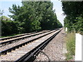
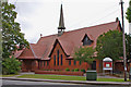
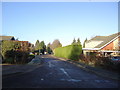
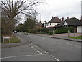
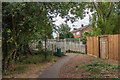
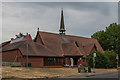
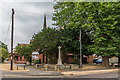
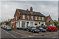
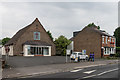
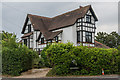
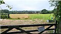
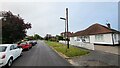
52 photos from this area
Area Information
Key information about the KT21 2LR including its size, population, and administrative classification.
- Area Type
- Postcode
- Area Size
- 2.9 hectares
- Population
- 1572
- Population Density
- 1877 people/km²
House Prices in KT21 2LR
43
Properties
£696,226
Average Sold Price
£332,000
Lowest Price
£1,450,000
Highest Price
Showing 43 properties
| Address | Type | Beds | Baths | Last Sale Price | Last Sale Date | |
|---|---|---|---|---|---|---|
| 117 Barnett Wood Lane, Ashtead, KT21 2LR | Detached | 3 | 1 | £750,000 | Jun 2025 | |
| 161 Barnett Wood Lane, Ashtead, KT21 2LR | Bungalow | 3 | 1 | £760,000 | Dec 2024 | |
| 131 Barnett Wood Lane, Ashtead, KT21 2LR | Detached | 3 | 3 | £1,450,000 | Aug 2024 | |
| 123 Barnett Wood Lane, Ashtead, KT21 2LR | Detached | 5 | 2 | £1,297,651 | Aug 2023 | |
| 159A Barnett Wood Lane, Ashtead, KT21 2LR | house | - | - | £760,000 | Apr 2023 | |
| Former, 159 Barnett Wood Lane, Ashtead, KT21 2LR | Detached | - | - | £865,000 | Nov 2021 | |
| 103 Barnett Wood Lane, Ashtead, KT21 2LR | Detached | 5 | 2 | £752,000 | Mar 2021 | |
| 135 Barnett Wood Lane, Ashtead, KT21 2LR | house | - | - | £650,000 | Sep 2020 | |
| 111 Barnett Wood Lane, Ashtead, KT21 2LR | Detached | 4 | 2 | £860,000 | Nov 2018 | |
| 149 Barnett Wood Lane, Ashtead, KT21 2LR | house | - | - | £715,000 | Feb 2018 |
Page 1 of 5
Energy Efficiency in KT21 2LR
Amenities
Schools
| Rank | School | Type | Entry gender | Ages |
|---|
Explore more schools in this area
Go to Schools tabDemographics
Household Size
Family (3-5 people)
most common
Accommodation Type
Houses
most common
Tenure
75
majority
Ethnic Group
White
most common
Religion
N/A
most common
Household Composition
N/A
most common
Age
47
median
Adults (30-64 years)
most common
Household Deprivation
N/A
with no deprivation
NS-SEC
46
in Lower managerial occupations
Explore more demographic insights in this area
Go to Demographics tabPlanning
Planning Constraints
- Flood RiskPremium
- Ramsar Wetland SitesPremium
- Area of Outstanding Natural BeautyPremium
- Protected Nature ReservePremium
- Protected WoodlandPremium