Area Overview for KT21 1NR
Photos of KT21 1NR
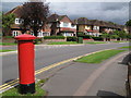
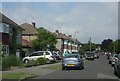
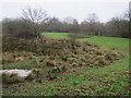
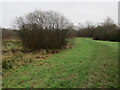
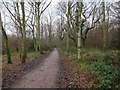
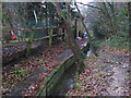
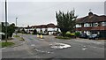
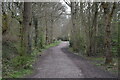
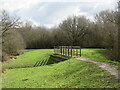

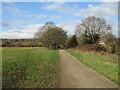
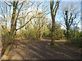
40 photos from this area
Area Information
Key information about the KT21 1NR including its size, population, and administrative classification.
- Area Type
- Postcode
- Area Size
- 1.7 hectares
- Population
- 1324
- Population Density
- 2126 people/km²
House Prices in KT21 1NR
29
Properties
£535,824
Average Sold Price
£225,000
Lowest Price
£900,000
Highest Price
Showing 29 properties
| Address | Type | Beds | Baths | Last Sale Price | Last Sale Date | |
|---|---|---|---|---|---|---|
| 99 Craddocks Avenue, Ashtead, KT21 1NR | Semi-detached | 3 | 1 | £613,500 | Sep 2024 | |
| 131 Craddocks Avenue, Ashtead, KT21 1NR | house | 4 | 1 | £800,000 | Nov 2022 | |
| 151 Craddocks Avenue, Ashtead, KT21 1NR | Bungalow | 5 | 1 | £900,000 | Aug 2022 | |
| 101A Craddocks Avenue, Ashtead, KT21 1NR | Detached | 4 | 2 | £770,000 | Dec 2021 | |
| 111 Craddocks Avenue, Ashtead, KT21 1NR | Semi-detached | 3 | 2 | £585,000 | May 2021 | |
| 113 Craddocks Avenue, Ashtead, KT21 1NR | Semi-detached | 4 | 1 | £648,000 | Sep 2017 | |
| 127 Craddocks Avenue, Ashtead, KT21 1NR | Semi-detached | 4 | 1 | £640,000 | Jul 2017 | |
| 145 Craddocks Avenue, Ashtead, KT21 1NR | Semi-detached | 3 | 1 | £690,000 | Jan 2017 | |
| 119 Craddocks Avenue, Ashtead, KT21 1NR | Semi-detached | 4 | 2 | £609,000 | Jul 2014 | |
| 115 Craddocks Avenue, Ashtead, KT21 1NR | house | 4 | - | £407,500 | Jan 2012 |
Page 1 of 3
Energy Efficiency in KT21 1NR
Amenities
Schools
| Rank | School | Type | Entry gender | Ages |
|---|
Explore more schools in this area
Go to Schools tabDemographics
Household Size
Family (3-5 people)
most common
Accommodation Type
Houses
most common
Tenure
96
majority
Ethnic Group
White
most common
Religion
N/A
most common
Household Composition
N/A
most common
Age
47
median
Adults (30-64 years)
most common
Household Deprivation
N/A
with no deprivation
NS-SEC
54
in Lower managerial occupations
Explore more demographic insights in this area
Go to Demographics tabPlanning
Planning Constraints
- Flood RiskPremium
- Ramsar Wetland SitesPremium
- Area of Outstanding Natural BeautyPremium
- Protected Nature ReservePremium
- Protected WoodlandPremium