Area Overview for KT20 5SE
Photos of KT20 5SE
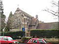
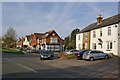
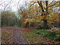
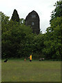
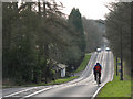
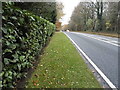
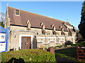
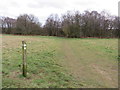
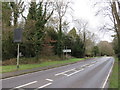
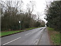
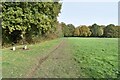
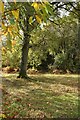
47 photos from this area
Area Information
Key information about the KT20 5SE including its size, population, and administrative classification.
- Area Type
- Postcode
- Area Size
- 1.0 hectares
- Population
- 1528
- Population Density
- 158 people/km²
House Prices in KT20 5SE
19
Properties
£565,625
Average Sold Price
£345,000
Lowest Price
£940,000
Highest Price
Showing 19 properties
| Address | Type | Beds | Baths | Last Sale Price | Last Sale Date | |
|---|---|---|---|---|---|---|
| 74 Chapel Road, Tadworth, KT20 5SE | Detached | 4 | 2 | £770,000 | Aug 2025 | |
| Braecot, 84 Chapel Road, Tadworth, KT20 5SE | Detached | 2 | 1 | £495,000 | Jul 2022 | |
| 80 Chapel Road, Tadworth, KT20 5SE | house | - | - | £675,000 | Feb 2021 | |
| 64 Chapel Road, Tadworth, KT20 5SE | Detached | 4 | 1 | £940,000 | May 2020 | |
| Enas Cottage, 82 Chapel Road, Tadworth, KT20 5SE | Terraced | 3 | 2 | £540,000 | Jan 2013 | |
| Bell Cottage, 72 Chapel Road, Tadworth, KT20 5SE | Detached | 3 | 2 | £415,000 | Aug 2004 | |
| 54 Chapel Road, Tadworth, KT20 5SE | Semi-detached | - | - | £345,000 | Nov 2002 | |
| 58 Chapel Road, Tadworth, KT20 5SE | Detached | - | - | £345,000 | Jul 1999 | |
| 56 Chapel Road, Tadworth, KT20 5SE | Detached | 6 | 3 | - | - | |
| 54A Chapel Road, Tadworth, KT20 5SE | Semi-detached | 4 | 3 | - | - |
Page 1 of 2
Energy Efficiency in KT20 5SE
Amenities
Schools
| Rank | School | Type | Entry gender | Ages |
|---|
Explore more schools in this area
Go to Schools tabDemographics
Household Size
One person
most common
Accommodation Type
Houses
most common
Tenure
82
majority
Ethnic Group
White
most common
Religion
N/A
most common
Household Composition
N/A
most common
Age
47
median
Adults (30-64 years)
most common
Household Deprivation
N/A
with no deprivation
NS-SEC
48
in Lower managerial occupations
Explore more demographic insights in this area
Go to Demographics tabPlanning
Planning Constraints
- Flood RiskPremium
- Ramsar Wetland SitesPremium
- Area of Outstanding Natural BeautyPremium
- Protected Nature ReservePremium
- Protected WoodlandPremium